Libu geodata
Libu (Hubei) is a seat of a fourth-order administrative division; located in China in Asia/Shanghai (GMT+8) time zone. In our database, there are 1268 cities with bigger population. Compared to other cities in China, 51% of cities are located further ↑North; 62.5% of cities are located further →East and 76.7% of cities have higher elevation than Libu. Note1


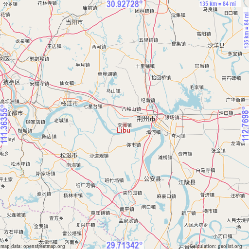
Libu GPS coordinates[2]
30° 19' 20.028" North, 112° 4' 0.012" East
| Map corner | latitude | longitude |
|---|---|---|
| Upper-left | 30.92728°, | 111.36355° |
| Center: | 30.32223°, | 112.06667° |
| Lower-right: | 29.71342°, | 112.7698° |
| Map W x H: | 135×135 km | = 83.9×83.9mi |
| max Lat: | 53.31946° ⇑51% North |
| Libu: | 30.32223° |
| min Lat: | ⇓49% South 18.22056° |
| min Long | Libu | max Long |
| 75.07348° | 112.06667° | 134.28917° |
| W 37.5%⇐ | ⇒62.5% E |
Elevation
Elevation of Libu is 33 m = 108 ft, and this is 451.8 m = 1482 ft below average elevation for this country.
| Max E: |
5622 m = 18445 ft | 76.7% |
| Avg. | 484.8 m = 1591 ft | |
| Libu | 33 m = 108 ft | |
Min E: |
-3 m = -10 ft | 23.3% |
See also: China elevation on elevation.city.
Geographical zone
Libu is located in North temperate zone (between Tropic of Cancer and the Arctic Circle). Distance of this Northern Tropic circle is 765.6 km =475.7 mi to South.| Distance of | km | miles | from Libu |
|---|---|---|---|
| North Pole | 6635.5 | 4123.1 | to North |
| Arctic Circle | 4029.7 | 2503.9 | to North |
| Tropic Cancer | 765.6 | 475.7 | to South |
| Equator | 3371.5 | 2095 | to South |


Nearby cities:
15 places around Libu: (largest is in red/bold)
• Babao
24.5 km =15.2 mi,  230°
230°
• Bailizhou
27.2 km =16.9 mi,  289°
289°
• Buhe
16.1 km =10 mi,  103°
103°
• Chengnan
10.9 km =6.8 mi,  74°
74°
• Dongcheng
12.1 km =7.5 mi, 74°
• Jinan
18.9 km =11.7 mi,  42°
42°
• Jingzhou
12.3 km =7.6 mi,  75°
75°
• Jishan
26.4 km =16.4 mi,  23°
23°
• Luochang
26.1 km =16.2 mi, 80°
• Mishi
11.6 km =7.2 mi,  154°
154°
• Qixingtai
20 km =12.4 mi,  300°
300°
• Shadaoguan
21.7 km =13.5 mi,  219°
219°
• Shashi
17.2 km =10.7 mi, 95°
• Xicheng
11.6 km =7.2 mi, 69°
• Yingcheng
13.7 km =8.5 mi, 67°
Sources, notices
• [Note1] Compared only with cities in China existing in our database
• [Src1] Map data: © OpenStreetMap contributors (CC-BY-SA)
• [Src2] Other city data from geonames.org with taken over terms of usage.
• [Src3] Geographical zone / Annual Mean Temperature by Robert A. Rohde @ Wikipedia
