Weibin geodata
Weibin (Shaanxi) is a seat of a fourth-order administrative division; located in China in Asia/Shanghai (GMT+8) time zone. In our database, there are 1268 cities with bigger population. Compared to other cities in China, 71.6% of cities are located further ↓South; 78% of cities are located further →East and 68.5% of cities have lower elevation than Weibin. Note1


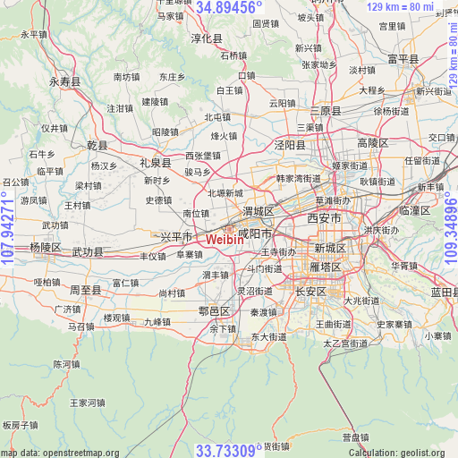
Weibin GPS coordinates[2]
34° 18' 56.988" North, 108° 38' 44.988" East
| Map corner | latitude | longitude |
|---|---|---|
| Upper-left | 34.89456°, | 107.94271° |
| Center: | 34.31583°, | 108.64583° |
| Lower-right: | 33.73309°, | 109.34896° |
| Map W x H: | 129.1×129.1 km | = 80.2×80.2mi |
| max Lat: | 53.31946° ⇑28.4% North |
| Weibin: | 34.31583° |
| min Lat: | ⇓71.6% South 18.22056° |
| min Long | Weibin | max Long |
| 75.07348° | 108.64583° | 134.28917° |
| W 22%⇐ | ⇒78% E |
Elevation
Elevation of Weibin is 386 m = 1266 ft, and this is 98.8 m = 324 ft below average elevation for this country.
| Max E: |
5622 m = 18445 ft | 31.5% |
| Avg. | 484.8 m = 1591 ft | |
| Weibin | 386 m = 1266 ft | |
Min E: |
-3 m = -10 ft | 68.5% |
See also: China elevation on elevation.city.
Geographical zone
Weibin is located in North temperate zone (between Tropic of Cancer and the Arctic Circle). Distance of this Northern Tropic circle is 1209.6 km =751.6 mi to South.| Distance of | km | miles | from Weibin |
|---|---|---|---|
| North Pole | 6191.5 | 3847.2 | to North |
| Arctic Circle | 3585.6 | 2228 | to North |
| Tropic Cancer | 1209.6 | 751.6 | to South |
| Equator | 3815.6 | 2370.9 | to South |


Nearby cities:
15 places around Weibin: (largest is in red/bold)
• Chenyangzhai
5.6 km =3.5 mi,  85°
85°
• Diaotai
5 km =3.1 mi,  132°
132°
• Fengdong
10.4 km =6.5 mi,  84°
84°
• Gaoqiao
9.8 km =6.1 mi,  145°
145°
• Gudu
5.5 km =3.4 mi,  52°
52°
• Maquan
4 km =2.5 mi,  282°
282°
• Nanwei
10.6 km =6.6 mi,  295°
295°
• Qindu
6.4 km =4 mi,  63°
63°
• Shuangzhao
10 km =6.2 mi,  344°
344°
• Tianfu
7.4 km =4.6 mi,  219°
219°
• Weicheng
6.8 km =4.2 mi, 75°
• Weiyang
9.6 km =6 mi, 63°
• Wujiabao
6 km =3.7 mi, 54°
• Xianyang
5.8 km =3.6 mi, 64°
• Xiwu
7.6 km =4.7 mi,  254°
254°
Sources, notices
• [Note1] Compared only with cities in China existing in our database
• [Src1] Map data: © OpenStreetMap contributors (CC-BY-SA)
• [Src2] Other city data from geonames.org with taken over terms of usage.
• [Src3] Geographical zone / Annual Mean Temperature by Robert A. Rohde @ Wikipedia
