Sanchazi geodata
Sanchazi (Jilin) is a populated place; located in China in Asia/Shanghai (GMT+8) time zone. With population of 66,576 people, there are 645 cities with bigger population in this country. Compared to other cities in China, 91.1% of cities are located further ↓South; 96.2% of cities are located further ←West and 76.4% of cities have lower elevation than Sanchazi. Note1


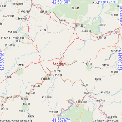
Sanchazi GPS coordinates[2]
42° 4' 54.012" North, 126° 36' 1.008" East
| Map corner | latitude | longitude |
|---|---|---|
| Upper-left | 42.60138°, | 125.89716° |
| Center: | 42.08167°, | 126.60028° |
| Lower-right: | 41.55767°, | 127.30341° |
| Map W x H: | 116×116 km | = 72.1×72.1mi |
| max Lat: | 53.31946° ⇑8.9% North |
| Sanchazi: | 42.08167° |
| min Lat: | ⇓91.1% South 18.22056° |
| min Long | Sanchazi | max Long |
| 75.07348° | 126.60028° | 134.28917° |
| W 96.2%⇐ | ⇒3.8% E |
Elevation
Elevation of Sanchazi is 558 m = 1831 ft, and this is 73.2 m = 240 ft above average elevation for this country.
| Max E: |
5622 m = 18445 ft | 23.6% |
| Sanchazi | 558 m 1831 ft | |
| Avg. | 484.8 m = 1591 ft | |
Min E: |
-3 m = -10 ft | 76.4% |
See also: Sanchazi elevation on elevation.city.
Geographical zone
Sanchazi is located in North temperate zone (between Tropic of Cancer and the Arctic Circle). Distance of this Northern Tropic circle is 2073.1 km =1288.2 mi to South.| Distance of | km | miles | from Sanchazi |
|---|---|---|---|
| North Pole | 5328 | 3310.7 | to North |
| Arctic Circle | 2722.1 | 1691.4 | to North |
| Tropic Cancer | 2073.1 | 1288.2 | to South |
| Equator | 4679 | 2907.4 | to South |


Nearby cities:
15 places around Sanchazi: (largest is in red/bold)
• Baishan
21.8 km =13.5 mi,  223°
223°
• Dahuanggou
39.3 km =24.4 mi,  264°
264°
• Dajinggou
25.2 km =15.7 mi,  194°
194°
• Dashiren
17.1 km =10.6 mi, 194°
• Hepingjie
26.2 km =16.3 mi,  95°
95°
• Huashan
31 km =19.3 mi,  134°
134°
• Jingyu
36.3 km =22.6 mi,  27°
27°
• Jinjiadian
37.6 km =23.4 mi,  39°
39°
• Linjiang
39.7 km =24.7 mi,  140°
140°
• Naozhi
39.1 km =24.3 mi,  116°
116°
• Shiren
13.5 km =8.4 mi, 192°
• Sunjia Buzi
7.3 km =4.5 mi, 189°
• Weishahe
40.2 km =25 mi,  162°
162°
• Yanping
33 km =20.5 mi,  50°
50°
• Zhazi
9.4 km =5.8 mi,  201°
201°
Sources, notices
• [Note1] Compared only with cities in China existing in our database
• [Src1] Map data: © OpenStreetMap contributors (CC-BY-SA)
• [Src2] Other city data from geonames.org with taken over terms of usage.
• [Src3] Geographical zone / Annual Mean Temperature by Robert A. Rohde @ Wikipedia
