Taihecun geodata
Taihecun (Heilongjiang) is a populated place; located in China in Asia/Shanghai (GMT+8) time zone. With population of 345,033 people, there are 166 cities with bigger population in this country. Compared to other cities in China, 94.7% of cities are located further ↓South; 99.8% of cities are located further ←West and 54.1% of cities have lower elevation than Taihecun. Note1


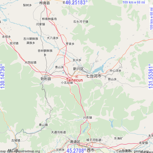
Taihecun GPS coordinates[2]
45° 45' 48.492" North, 130° 51' 1.728" East
| Map corner | latitude | longitude |
|---|---|---|
| Upper-left | 46.25183°, | 130.14736° |
| Center: | 45.76347°, | 130.85048° |
| Lower-right: | 45.2708°, | 131.55361° |
| Map W x H: | 109.1×109.1 km | = 67.8×67.8mi |
| max Lat: | 53.31946° ⇑5.3% North |
| Taihecun: | 45.76347° |
| min Lat: | ⇓94.7% South 18.22056° |
| min Long | Taihecun | max Long |
| 75.07348° | 130.85048° | 134.28917° |
| W 99.8%⇐ | ⇒0.2% E |
Elevation
Elevation of Taihecun is 198 m = 650 ft, and this is 286.8 m = 941 ft below average elevation for this country.
| Max E: |
5622 m = 18445 ft | 45.9% |
| Avg. | 484.8 m = 1591 ft | |
| Taihecun | 198 m = 650 ft | |
Min E: |
-3 m = -10 ft | 54.1% |
See also: Taihecun elevation on elevation.city.
Geographical zone
Taihecun is located in North temperate zone (between Tropic of Cancer and the Arctic Circle). Distance of this North polar circle is 2312.8 km =1437.1 mi to North.| Distance of | km | miles | from Taihecun |
|---|---|---|---|
| North Pole | 4918.6 | 3056.3 | to North |
| Arctic Circle | 2312.8 | 1437.1 | to North |
| Tropic Cancer | 2482.5 | 1542.6 | to South |
| Equator | 5088.4 | 3161.8 | to South |


Nearby cities:
15 places around Taihecun: (largest is in red/bold)
• Beishan
8.4 km =5.2 mi,  45°
45°
• Boli
21.6 km =13.4 mi,  266°
266°
• Dasizhan
34.4 km =21.4 mi,  287°
287°
• Dongxing
45 km =28 mi,  186°
186°
• Hongqi
5.4 km =3.4 mi,  15°
15°
• Jixing
41.5 km =25.8 mi,  308°
308°
• Qiangken
20.5 km =12.7 mi, 314°
• Qingshan
14.2 km =8.8 mi,  299°
299°
• Shitouhe
39.4 km =24.5 mi,  4°
4°
• Wanbaohe
9.3 km =5.8 mi,  81°
81°
• Woken
37 km =23 mi,  315°
315°
• Xiaowuzhan
7.9 km =4.9 mi,  238°
238°
• Xingnong
30.1 km =18.7 mi,  165°
165°
• Xingshu
28.4 km =17.6 mi, 308°
• Yanjia
45.6 km =28.3 mi,  325°
325°
Sources, notices
• [Note1] Compared only with cities in China existing in our database
• [Src1] Map data: © OpenStreetMap contributors (CC-BY-SA)
• [Src2] Other city data from geonames.org with taken over terms of usage.
• [Src3] Geographical zone / Annual Mean Temperature by Robert A. Rohde @ Wikipedia
