Liudaogou geodata
Liudaogou (Jilin) is a seat of a fourth-order administrative division; located in China in Asia/Shanghai (GMT+8) time zone. In our database, there are 1268 cities with bigger population. Compared to other cities in China, 90.3% of cities are located further ↓South; 97.1% of cities are located further ←West and 74.2% of cities have lower elevation than Liudaogou. Note1


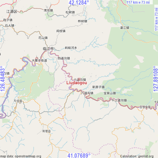
Liudaogou GPS coordinates[2]
41° 36' 17.244" North, 127° 11' 16.62" East
| Map corner | latitude | longitude |
|---|---|---|
| Upper-left | 42.1284°, | 126.48483° |
| Center: | 41.60479°, | 127.18795° |
| Lower-right: | 41.07689°, | 127.89108° |
| Map W x H: | 116.9×116.9 km | = 72.6×72.6mi |
| max Lat: | 53.31946° ⇑9.7% North |
| Liudaogou: | 41.60479° |
| min Lat: | ⇓90.3% South 18.22056° |
| min Long | Liudaogou | max Long |
| 75.07348° | 127.18795° | 134.28917° |
| W 97.1%⇐ | ⇒2.9% E |
Elevation
Elevation of Liudaogou is 505 m = 1657 ft, and this is 20.2 m = 66 ft above average elevation for this country.
| Max E: |
5622 m = 18445 ft | 25.8% |
| Liudaogou | 505 m 1657 ft | |
| Avg. | 484.8 m = 1591 ft | |
Min E: |
-3 m = -10 ft | 74.2% |
See also: China elevation on elevation.city.
Geographical zone
Liudaogou is located in North temperate zone (between Tropic of Cancer and the Arctic Circle). Distance of this Northern Tropic circle is 2020.1 km =1255.2 mi to South.| Distance of | km | miles | from Liudaogou |
|---|---|---|---|
| North Pole | 5381 | 3343.6 | to North |
| Arctic Circle | 2775.2 | 1724.4 | to North |
| Tropic Cancer | 2020.1 | 1255.2 | to South |
| Equator | 4626 | 2874.5 | to South |


Nearby cities:
15 places around Liudaogou: (largest is in red/bold)
• Badaogou
11.6 km =7.2 mi,  146°
146°
• Baoquanshan
24.5 km =15.2 mi,  114°
114°
• Baoshan
8.7 km =5.4 mi,  79°
79°
• Dalizi
32.6 km =20.3 mi,  295°
295°
• Dongbeicha
16.9 km =10.5 mi,  29°
29°
• Huashan
41 km =25.5 mi,  319°
319°
• Huashu
43 km =26.7 mi,  3°
3°
• Jiajiaying
20.5 km =12.7 mi, 0°
• Linjiang
32.3 km =20.1 mi,  314°
314°
• Mayihe
24.3 km =15.1 mi,  345°
345°
• Naozhi
38.2 km =23.7 mi,  339°
339°
• Shi’erdaogou
33.5 km =20.8 mi,  117°
117°
• Sidaogou
19.2 km =11.9 mi, 323°
• Weishahe
39.4 km =24.5 mi,  291°
291°
• Xinfangzi
15.4 km =9.6 mi, 111°
Sources, notices
• [Note1] Compared only with cities in China existing in our database
• [Src1] Map data: © OpenStreetMap contributors (CC-BY-SA)
• [Src2] Other city data from geonames.org with taken over terms of usage.
• [Src3] Geographical zone / Annual Mean Temperature by Robert A. Rohde @ Wikipedia
