Heting geodata
Heting (Hunan) is a seat of a fourth-order administrative division; located in China in Asia/Shanghai (GMT+8) time zone. In our database, there are 1268 cities with bigger population. Compared to other cities in China, 83.6% of cities are located further ↑North; 62.6% of cities are located further →East and 61.1% of cities have lower elevation than Heting. Note1


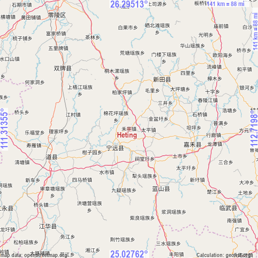
Heting GPS coordinates[2]
25° 39' 47.016" North, 112° 1' 0.012" East
| Map corner | latitude | longitude |
|---|---|---|
| Upper-left | 26.29513°, | 111.31355° |
| Center: | 25.66306°, | 112.01667° |
| Lower-right: | 25.02762°, | 112.7198° |
| Map W x H: | 140.9×140.9 km | = 87.6×87.6mi |
| max Lat: | 53.31946° ⇑83.6% North |
| Heting: | 25.66306° |
| min Lat: | ⇓16.4% South 18.22056° |
| min Long | Heting | max Long |
| 75.07348° | 112.01667° | 134.28917° |
| W 37.4%⇐ | ⇒62.6% E |
Elevation
Elevation of Heting is 273 m = 896 ft, and this is 211.8 m = 695 ft below average elevation for this country.
| Max E: |
5622 m = 18445 ft | 38.9% |
| Avg. | 484.8 m = 1591 ft | |
| Heting | 273 m = 896 ft | |
Min E: |
-3 m = -10 ft | 61.1% |
See also: China elevation on elevation.city.
Geographical zone
Heting is located in North temperate zone (between Tropic of Cancer and the Arctic Circle). Distance of this Northern Tropic circle is 247.5 km =153.8 mi to South.| Distance of | km | miles | from Heting |
|---|---|---|---|
| North Pole | 7153.6 | 4445 | to North |
| Arctic Circle | 4547.7 | 2825.8 | to North |
| Tropic Cancer | 247.5 | 153.8 | to South |
| Equator | 2853.5 | 1773.1 | to South |


Nearby cities:
15 places around Heting: (largest is in red/bold)
• Bao’an
9.7 km =6 mi,  42°
42°
• Lengshui
12.3 km =7.6 mi,  173°
173°
• Litou
26.8 km =16.7 mi,  161°
161°
• Maojia
26.5 km =16.5 mi, 43°
• Maoli
24.9 km =15.5 mi,  30°
30°
• Sanjing
24 km =14.9 mi,  54°
54°
• Shiyang
24 km =14.9 mi,  65°
65°
• Shizi
15.1 km =9.4 mi, 42°
• Shunling
11.7 km =7.3 mi,  227°
227°
• Taiping
10.7 km =6.6 mi,  91°
91°
• Taoling
31.7 km =19.7 mi, 74°
• Tiantang
18 km =11.2 mi, 226°
• Tongmuluo
30.8 km =19.1 mi,  347°
347°
• Tushi
31.4 km =19.5 mi,  117°
117°
• Xinxu
29.7 km =18.5 mi,  58°
58°
Sources, notices
• [Note1] Compared only with cities in China existing in our database
• [Src1] Map data: © OpenStreetMap contributors (CC-BY-SA)
• [Src2] Other city data from geonames.org with taken over terms of usage.
• [Src3] Geographical zone / Annual Mean Temperature by Robert A. Rohde @ Wikipedia
