Baiguan geodata
Baiguan (Gansu) is a seat of a fourth-order administrative division; located in China in Asia/Shanghai (GMT+8) time zone. In our database, there are 1268 cities with bigger population. Compared to other cities in China, 69.9% of cities are located further ↓South; 89.2% of cities are located further →East and 94.7% of cities have lower elevation than Baiguan. Note1


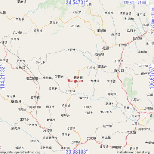
Baiguan GPS coordinates[2]
33° 57' 58.212" North, 104° 54' 51.984" East
| Map corner | latitude | longitude |
|---|---|---|
| Upper-left | 34.54731°, | 104.21132° |
| Center: | 33.96617°, | 104.91444° |
| Lower-right: | 33.38103°, | 105.61757° |
| Map W x H: | 129.7×129.7 km | = 80.6×80.6mi |
| max Lat: | 53.31946° ⇑30.1% North |
| Baiguan: | 33.96617° |
| min Lat: | ⇓69.9% South 18.22056° |
| min Long | Baiguan | max Long |
| 75.07348° | 104.91444° | 134.28917° |
| W 10.8%⇐ | ⇒89.2% E |
Elevation
Elevation of Baiguan is 2000 m = 6562 ft, and this is 1515.2 m = 4971 ft above average elevation for this country.
| Max E: |
5622 m = 18445 ft | 5.3% |
| Baiguan | 2000 m 6562 ft | |
| Avg. | 484.8 m = 1591 ft | |
Min E: |
-3 m = -10 ft | 94.7% |
See also: China elevation on elevation.city.
Geographical zone
Baiguan is located in North temperate zone (between Tropic of Cancer and the Arctic Circle). Distance of this Northern Tropic circle is 1170.8 km =727.5 mi to South.| Distance of | km | miles | from Baiguan |
|---|---|---|---|
| North Pole | 6230.4 | 3871.4 | to North |
| Arctic Circle | 3624.5 | 2252.2 | to North |
| Tropic Cancer | 1170.8 | 727.5 | to South |
| Equator | 3776.7 | 2346.7 | to South |


Nearby cities:
15 places around Baiguan: (largest is in red/bold)
• Baihe
12.2 km =7.6 mi,  208°
208°
• Hanyuan
20.9 km =13 mi,  266°
266°
• Haoli
9.8 km =6.1 mi,  281°
281°
• Hekou
24.2 km =15 mi,  114°
114°
• Jiangkou
19.9 km =12.4 mi,  59°
59°
• Leiba
22.6 km =14 mi,  149°
149°
• Leiwang
23.2 km =14.4 mi,  66°
66°
• Longlin
14.3 km =8.9 mi,  100°
100°
• Nanyang
25 km =15.5 mi, 267°
• Qiaotou
25.4 km =15.8 mi,  201°
201°
• Quanshui
17.4 km =10.8 mi,  222°
222°
• Tanping
18.1 km =11.2 mi,  161°
161°
• Wangba
26.4 km =16.4 mi, 160°
• Zhongba
13.3 km =8.3 mi,  54°
54°
• Zhuyuan
21.5 km =13.4 mi,  245°
245°
Sources, notices
• [Note1] Compared only with cities in China existing in our database
• [Src1] Map data: © OpenStreetMap contributors (CC-BY-SA)
• [Src2] Other city data from geonames.org with taken over terms of usage.
• [Src3] Geographical zone / Annual Mean Temperature by Robert A. Rohde @ Wikipedia
