Cangdu geodata
Cangdu (Shaanxi) is a seat of a fourth-order administrative division; located in China in Asia/Shanghai (GMT+8) time zone. In our database, there are 1268 cities with bigger population. Compared to other cities in China, 66.6% of cities are located further ↓South; 87% of cities are located further →East and 86% of cities have lower elevation than Cangdu. Note1


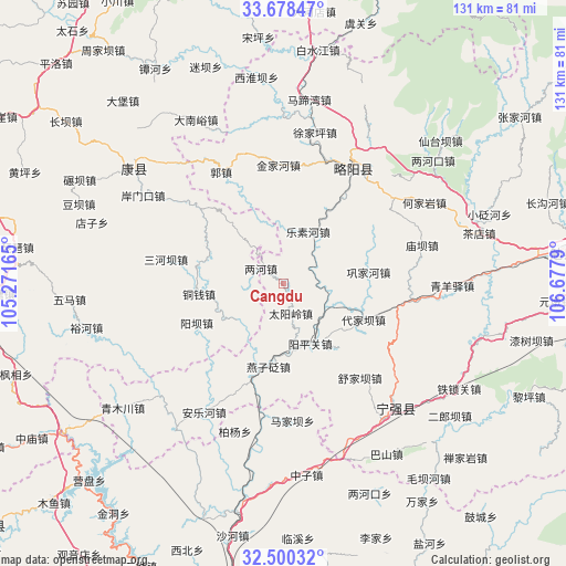
Cangdu GPS coordinates[2]
33° 5' 28.932" North, 105° 58' 29.172" East
| Map corner | latitude | longitude |
|---|---|---|
| Upper-left | 33.67847°, | 105.27165° |
| Center: | 33.09137°, | 105.97477° |
| Lower-right: | 32.50032°, | 106.6779° |
| Map W x H: | 131×131 km | = 81.4×81.4mi |
| max Lat: | 53.31946° ⇑33.4% North |
| Cangdu: | 33.09137° |
| min Lat: | ⇓66.6% South 18.22056° |
| min Long | Cangdu | max Long |
| 75.07348° | 105.97477° | 134.28917° |
| W 13%⇐ | ⇒87% E |
Elevation
Elevation of Cangdu is 1047 m = 3435 ft, and this is 562.2 m = 1844 ft above average elevation for this country.
| Max E: |
5622 m = 18445 ft | 14% |
| Cangdu | 1047 m 3435 ft | |
| Avg. | 484.8 m = 1591 ft | |
Min E: |
-3 m = -10 ft | 86% |
See also: China elevation on elevation.city.
Geographical zone
Cangdu is located in North temperate zone (between Tropic of Cancer and the Arctic Circle). Distance of this Northern Tropic circle is 1073.5 km =667 mi to South.| Distance of | km | miles | from Cangdu |
|---|---|---|---|
| North Pole | 6327.6 | 3931.8 | to North |
| Arctic Circle | 3721.8 | 2312.6 | to North |
| Tropic Cancer | 1073.5 | 667 | to South |
| Equator | 3679.4 | 2286.3 | to South |


Nearby cities:
15 places around Cangdu: (largest is in red/bold)
• Baiquesi
17.5 km =10.9 mi,  33°
33°
• Baiyang
20.1 km =12.5 mi,  296°
296°
• Daijiaba
21.5 km =13.4 mi,  115°
115°
• Gongjiahe
19.7 km =12.2 mi,  82°
82°
• Juting
11 km =6.8 mi,  111°
111°
• Lesuhe
13.7 km =8.5 mi,  24°
24°
• Lianghe
6.2 km =3.9 mi, 303°
• Shijiayuan
22.2 km =13.8 mi,  7°
7°
• Taiyangling
6.7 km =4.2 mi,  156°
156°
• Tongqian
19.8 km =12.3 mi,  262°
262°
• Tuohe
13.8 km =8.6 mi,  231°
231°
• Yangba
21.4 km =13.3 mi,  245°
245°
• Yangpingguan
16.1 km =10 mi,  152°
152°
• Yanzibian
21.6 km =13.4 mi,  192°
192°
• Zengjiahe
14.5 km =9 mi, 76°
Sources, notices
• [Note1] Compared only with cities in China existing in our database
• [Src1] Map data: © OpenStreetMap contributors (CC-BY-SA)
• [Src2] Other city data from geonames.org with taken over terms of usage.
• [Src3] Geographical zone / Annual Mean Temperature by Robert A. Rohde @ Wikipedia
