Taishi geodata
Taishi (Gansu) is a seat of a fourth-order administrative division; located in China in Asia/Shanghai (GMT+8) time zone. In our database, there are 1268 cities with bigger population. Compared to other cities in China, 68.4% of cities are located further ↓South; 88.3% of cities are located further →East and 85.5% of cities have lower elevation than Taishi. Note1


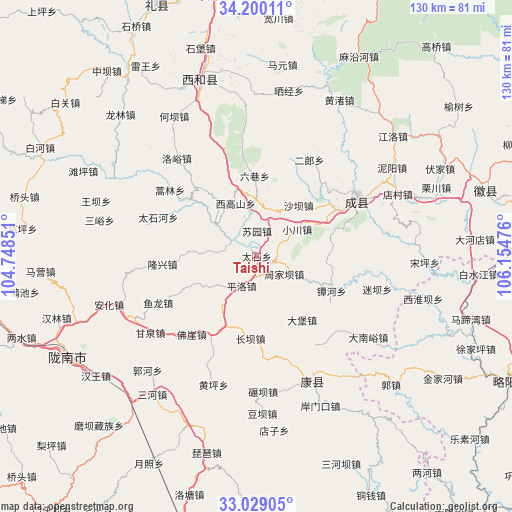
Taishi GPS coordinates[2]
33° 36' 59.652" North, 105° 27' 5.868" East
| Map corner | latitude | longitude |
|---|---|---|
| Upper-left | 34.20011°, | 104.74851° |
| Center: | 33.61657°, | 105.45163° |
| Lower-right: | 33.02905°, | 106.15476° |
| Map W x H: | 130.2×130.2 km | = 80.9×80.9mi |
| max Lat: | 53.31946° ⇑31.6% North |
| Taishi: | 33.61657° |
| min Lat: | ⇓68.4% South 18.22056° |
| min Long | Taishi | max Long |
| 75.07348° | 105.45163° | 134.28917° |
| W 11.7%⇐ | ⇒88.3% E |
Elevation
Elevation of Taishi is 1013 m = 3323 ft, and this is 528.2 m = 1733 ft above average elevation for this country.
| Max E: |
5622 m = 18445 ft | 14.5% |
| Taishi | 1013 m 3323 ft | |
| Avg. | 484.8 m = 1591 ft | |
Min E: |
-3 m = -10 ft | 85.5% |
See also: China elevation on elevation.city.
Geographical zone
Taishi is located in North temperate zone (between Tropic of Cancer and the Arctic Circle). Distance of this Northern Tropic circle is 1131.9 km =703.3 mi to South.| Distance of | km | miles | from Taishi |
|---|---|---|---|
| North Pole | 6269.2 | 3895.5 | to North |
| Arctic Circle | 3663.4 | 2276.3 | to North |
| Tropic Cancer | 1131.9 | 703.3 | to South |
| Equator | 3737.8 | 2322.6 | to South |


Nearby cities:
15 places around Taishi: (largest is in red/bold)
• Douping
11.2 km =7 mi,  173°
173°
• Gongji
19.7 km =12.2 mi,  159°
159°
• Huangchen
14.4 km =8.9 mi,  104°
104°
• Huaya
19.2 km =11.9 mi,  76°
76°
• Lishan
13.1 km =8.1 mi,  124°
124°
• Longba
14.6 km =9.1 mi,  273°
273°
• Pingluo
8.5 km =5.3 mi,  206°
206°
• Shaba
16.5 km =10.3 mi,  39°
39°
• Shixia
19.5 km =12.1 mi,  342°
342°
• Suochi
6.6 km =4.1 mi,  60°
60°
• Suyuan
6.3 km =3.9 mi,  0°
0°
• Wangguan
19.4 km =12.1 mi, 205°
• Xiaochuan
12.4 km =7.7 mi, 55°
• Xigaoshan
14.4 km =8.9 mi, 335°
• Zhifang
12.5 km =7.8 mi,  13°
13°
Sources, notices
• [Note1] Compared only with cities in China existing in our database
• [Src1] Map data: © OpenStreetMap contributors (CC-BY-SA)
• [Src2] Other city data from geonames.org with taken over terms of usage.
• [Src3] Geographical zone / Annual Mean Temperature by Robert A. Rohde @ Wikipedia
