Liangshan geodata
Liangshan (Shaanxi) is a seat of a fourth-order administrative division; located in China in Asia/Shanghai (GMT+8) time zone. In our database, there are 1268 cities with bigger population. Compared to other cities in China, 66.5% of cities are located further ↓South; 83.8% of cities are located further →East and 75.7% of cities have lower elevation than Liangshan. Note1


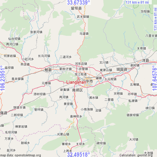
Liangshan GPS coordinates[2]
33° 5' 10.536" North, 106° 56' 33.468" East
| Map corner | latitude | longitude |
|---|---|---|
| Upper-left | 33.67339°, | 106.23951° |
| Center: | 33.08626°, | 106.94263° |
| Lower-right: | 32.49518°, | 107.64576° |
| Map W x H: | 131×131 km | = 81.4×81.4mi |
| max Lat: | 53.31946° ⇑33.5% North |
| Liangshan: | 33.08626° |
| min Lat: | ⇓66.5% South 18.22056° |
| min Long | Liangshan | max Long |
| 75.07348° | 106.94263° | 134.28917° |
| W 16.2%⇐ | ⇒83.8% E |
Elevation
Elevation of Liangshan is 537 m = 1762 ft, and this is 52.2 m = 171 ft above average elevation for this country.
| Max E: |
5622 m = 18445 ft | 24.3% |
| Liangshan | 537 m 1762 ft | |
| Avg. | 484.8 m = 1591 ft | |
Min E: |
-3 m = -10 ft | 75.7% |
See also: China elevation on elevation.city.
Geographical zone
Liangshan is located in North temperate zone (between Tropic of Cancer and the Arctic Circle). Distance of this Northern Tropic circle is 1072.9 km =666.7 mi to South.| Distance of | km | miles | from Liangshan |
|---|---|---|---|
| North Pole | 6328.2 | 3932.2 | to North |
| Arctic Circle | 3722.3 | 2312.9 | to North |
| Tropic Cancer | 1072.9 | 666.7 | to South |
| Equator | 3678.8 | 2285.9 | to South |


Nearby cities:
15 places around Liangshan: (largest is in red/bold)
• Changlin
7.2 km =4.5 mi,  331°
331°
• Dahekan
10.1 km =6.3 mi,  119°
119°
• Gaotai
11.1 km =6.9 mi,  227°
227°
• Guotan
5.3 km =3.3 mi,  188°
188°
• Hanzhong
7.5 km =4.7 mi,  99°
99°
• Hujiaying
10.3 km =6.4 mi,  132°
132°
• Laodaosi
10.6 km =6.6 mi, 329°
• Laojun
10.2 km =6.3 mi,  67°
67°
• Longjiang
4.4 km =2.7 mi,  20°
20°
• Nanzheng Chengguanzhen
9.1 km =5.7 mi,  184°
184°
• Qili
10.6 km =6.6 mi,  94°
94°
• Xieshui
9.6 km =6 mi,  198°
198°
• Xinyuan
5.6 km =3.5 mi,  39°
39°
• Yangchun
7 km =4.3 mi,  213°
213°
• Zongying
8.7 km =5.4 mi, 23°
Sources, notices
• [Note1] Compared only with cities in China existing in our database
• [Src1] Map data: © OpenStreetMap contributors (CC-BY-SA)
• [Src2] Other city data from geonames.org with taken over terms of usage.
• [Src3] Geographical zone / Annual Mean Temperature by Robert A. Rohde @ Wikipedia
