Yangmen geodata
Yangmen (Jiangxi) is a seat of a fourth-order administrative division; located in China in Asia/Shanghai (GMT+8) time zone. In our database, there are 1268 cities with bigger population. Compared to other cities in China, 78% of cities are located further ↑North; 51% of cities are located further ←West and 60.4% of cities have higher elevation than Yangmen. Note1


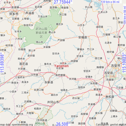
Yangmen GPS coordinates[2]
27° 8' 7.692" North, 114° 23' 49.56" East
| Map corner | latitude | longitude |
|---|---|---|
| Upper-left | 27.75944°, | 113.69398° |
| Center: | 27.13547°, | 114.3971° |
| Lower-right: | 26.508°, | 115.10023° |
| Map W x H: | 139.1×139.1 km | = 86.4×86.4mi |
| max Lat: | 53.31946° ⇑78% North |
| Yangmen: | 27.13547° |
| min Lat: | ⇓22% South 18.22056° |
| min Long | Yangmen | max Long |
| 75.07348° | 114.3971° | 134.28917° |
| W 51%⇐ | ⇒49% E |
Elevation
Elevation of Yangmen is 96 m = 315 ft, and this is 388.8 m = 1276 ft below average elevation for this country.
| Max E: |
5622 m = 18445 ft | 60.4% |
| Avg. | 484.8 m = 1591 ft | |
| Yangmen | 96 m = 315 ft | |
Min E: |
-3 m = -10 ft | 39.6% |
See also: China elevation on elevation.city.
Geographical zone
Yangmen is located in North temperate zone (between Tropic of Cancer and the Arctic Circle). Distance of this Northern Tropic circle is 411.3 km =255.6 mi to South.| Distance of | km | miles | from Yangmen |
|---|---|---|---|
| North Pole | 6989.9 | 4343.3 | to North |
| Arctic Circle | 4384 | 2724.1 | to North |
| Tropic Cancer | 411.3 | 255.6 | to South |
| Equator | 3017.2 | 1874.8 | to South |


Nearby cities:
15 places around Yangmen: (largest is in red/bold)
• Ganluo
20.4 km =12.7 mi,  66°
66°
• Gaoqiaolou
13.3 km =8.3 mi,  193°
193°
• Gaoshi
22.3 km =13.9 mi,  239°
239°
• Guantian
27.8 km =17.3 mi,  106°
106°
• Huaizhong
6.5 km =4 mi,  214°
214°
• Jintian
4.4 km =2.7 mi, 68°
• Lianzhou
17 km =10.6 mi,  234°
234°
• Liaotang
24.8 km =15.4 mi,  51°
51°
• Longmen
25.6 km =15.9 mi,  258°
258°
• Pengfang
13.5 km =8.4 mi,  324°
324°
• Xiangxing
17 km =10.6 mi,  267°
267°
• Yangxi
25.6 km =15.9 mi,  314°
314°
• Yantian
25.7 km =16 mi,  354°
354°
• Zhetian
11 km =6.8 mi,  5°
5°
• Zhouhu
12.5 km =7.8 mi,  77°
77°
Sources, notices
• [Note1] Compared only with cities in China existing in our database
• [Src1] Map data: © OpenStreetMap contributors (CC-BY-SA)
• [Src2] Other city data from geonames.org with taken over terms of usage.
• [Src3] Geographical zone / Annual Mean Temperature by Robert A. Rohde @ Wikipedia
