Kuntong geodata
Kuntong (Zhejiang) is a seat of a fourth-order administrative division; located in China in Asia/Shanghai (GMT+8) time zone. In our database, there are 1268 cities with bigger population. Compared to other cities in China, 52.6% of cities are located further ↓South; 80.5% of cities are located further ←West and 83.9% of cities have higher elevation than Kuntong. Note1


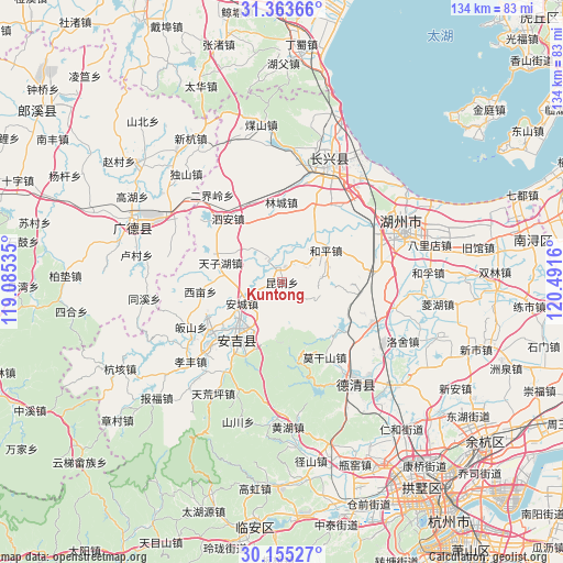
Kuntong GPS coordinates[2]
30° 45' 40.896" North, 119° 47' 18.492" East
| Map corner | latitude | longitude |
|---|---|---|
| Upper-left | 31.36366°, | 119.08535° |
| Center: | 30.76136°, | 119.78847° |
| Lower-right: | 30.15527°, | 120.4916° |
| Map W x H: | 134.4×134.4 km | = 83.5×83.5mi |
| max Lat: | 53.31946° ⇑47.4% North |
| Kuntong: | 30.76136° |
| min Lat: | ⇓52.6% South 18.22056° |
| min Long | Kuntong | max Long |
| 75.07348° | 119.78847° | 134.28917° |
| W 80.5%⇐ | ⇒19.5% E |
Elevation
Elevation of Kuntong is 18 m = 59 ft, and this is 466.8 m = 1531 ft below average elevation for this country.
| Max E: |
5622 m = 18445 ft | 83.9% |
| Avg. | 484.8 m = 1591 ft | |
| Kuntong | 18 m = 59 ft | |
Min E: |
-3 m = -10 ft | 16.1% |
See also: China elevation on elevation.city.
Geographical zone
Kuntong is located in North temperate zone (between Tropic of Cancer and the Arctic Circle). Distance of this Northern Tropic circle is 814.4 km =506 mi to South.| Distance of | km | miles | from Kuntong |
|---|---|---|---|
| North Pole | 6586.7 | 4092.8 | to North |
| Arctic Circle | 3980.8 | 2473.6 | to North |
| Tropic Cancer | 814.4 | 506 | to South |
| Equator | 3420.3 | 2125.3 | to South |


Nearby cities:
15 places around Kuntong: (largest is in red/bold)
• Baizhang
26.6 km =16.5 mi,  193°
193°
• Daixi
23.8 km =14.8 mi,  117°
117°
• Fatou
24.7 km =15.3 mi,  165°
165°
• Gaoyu
18.5 km =11.5 mi,  291°
291°
• Guishan
25.9 km =16.1 mi,  241°
241°
• Heping
13 km =8.1 mi,  53°
53°
• Hongxingqiao
19.6 km =12.2 mi,  23°
23°
• Lincheng
19.2 km =11.9 mi,  359°
359°
• Lüshan
22.5 km =14 mi,  33°
33°
• Miaoxi
20.7 km =12.9 mi,  83°
83°
• Moganshan
20.5 km =12.7 mi,  150°
150°
• Nanlu
15.6 km =9.7 mi, 149°
• Si’an
19.9 km =12.4 mi,  319°
319°
• Ximu
19.6 km =12.2 mi,  263°
263°
• Zhangwu
23.5 km =14.6 mi,  274°
274°
Sources, notices
• [Note1] Compared only with cities in China existing in our database
• [Src1] Map data: © OpenStreetMap contributors (CC-BY-SA)
• [Src2] Other city data from geonames.org with taken over terms of usage.
• [Src3] Geographical zone / Annual Mean Temperature by Robert A. Rohde @ Wikipedia
