Jiangcun geodata
Jiangcun (Zhejiang) is a seat of a fourth-order administrative division; located in China in Asia/Shanghai (GMT+8) time zone. In our database, there are 1268 cities with bigger population. Compared to other cities in China, 51.4% of cities are located further ↑North; 82.3% of cities are located further ←West and 91.2% of cities have higher elevation than Jiangcun. Note1


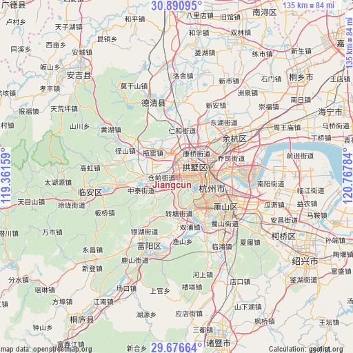
Jiangcun GPS coordinates[2]
30° 17' 8.412" North, 120° 3' 52.956" East
| Map corner | latitude | longitude |
|---|---|---|
| Upper-left | 30.89095°, | 119.36159° |
| Center: | 30.28567°, | 120.06471° |
| Lower-right: | 29.67664°, | 120.76784° |
| Map W x H: | 135×135 km | = 83.9×83.9mi |
| max Lat: | 53.31946° ⇑51.4% North |
| Jiangcun: | 30.28567° |
| min Lat: | ⇓48.6% South 18.22056° |
| min Long | Jiangcun | max Long |
| 75.07348° | 120.06471° | 134.28917° |
| W 82.3%⇐ | ⇒17.7% E |
Elevation
Elevation of Jiangcun is 9 m = 30 ft, and this is 475.8 m = 1561 ft below average elevation for this country.
| Max E: |
5622 m = 18445 ft | 91.2% |
| Avg. | 484.8 m = 1591 ft | |
| Jiangcun | 9 m = 30 ft | |
Min E: |
-3 m = -10 ft | 8.8% |
See also: China elevation on elevation.city.
Geographical zone
Jiangcun is located in North temperate zone (between Tropic of Cancer and the Arctic Circle). Distance of this Northern Tropic circle is 761.5 km =473.2 mi to South.| Distance of | km | miles | from Jiangcun |
|---|---|---|---|
| North Pole | 6639.6 | 4125.7 | to North |
| Arctic Circle | 4033.7 | 2506.4 | to North |
| Tropic Cancer | 761.5 | 473.2 | to South |
| Equator | 3367.5 | 2092.5 | to South |


Nearby cities:
15 places around Jiangcun: (largest is in red/bold)
• Cangqian
7.1 km =4.4 mi,  274°
274°
• Gongchenqiao
7.4 km =4.6 mi,  61°
61°
• Gudang
5.2 km =3.2 mi,  98°
98°
• Hangzhou
9.3 km =5.8 mi,  84°
84°
• Kangqiao
11.6 km =7.2 mi,  40°
40°
• Liangzhu
10.5 km =6.5 mi,  350°
350°
• Liuxia
4.6 km =2.9 mi,  194°
194°
• Mishixiang
7.6 km =4.7 mi, 82°
• Sandun
4.5 km =2.8 mi,  15°
15°
• Shangtang
8.9 km =5.5 mi,  67°
67°
• Xiangfu
5.9 km =3.7 mi,  34°
34°
• Xianlin
10.4 km =6.5 mi,  230°
230°
• Xiaohe
7.3 km =4.5 mi, 68°
• Xihu
7.1 km =4.4 mi,  133°
133°
• Xindong
10.6 km =6.6 mi, 77°
Sources, notices
• [Note1] Compared only with cities in China existing in our database
• [Src1] Map data: © OpenStreetMap contributors (CC-BY-SA)
• [Src2] Other city data from geonames.org with taken over terms of usage.
• [Src3] Geographical zone / Annual Mean Temperature by Robert A. Rohde @ Wikipedia
