Zhufeng geodata
Zhufeng (Hunan) is a seat of a fourth-order administrative division; located in China in Asia/Shanghai (GMT+8) time zone. In our database, there are 1268 cities with bigger population. Compared to other cities in China, 63.1% of cities are located further ↑North; 62.8% of cities are located further →East and 75.3% of cities have higher elevation than Zhufeng. Note1


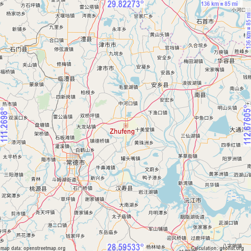
Zhufeng GPS coordinates[2]
29° 12' 39.132" North, 111° 58' 22.512" East
| Map corner | latitude | longitude |
|---|---|---|
| Upper-left | 29.82273°, | 111.2698° |
| Center: | 29.21087°, | 111.97292° |
| Lower-right: | 28.59533°, | 112.67605° |
| Map W x H: | 136.5×136.5 km | = 84.8×84.8mi |
| max Lat: | 53.31946° ⇑63.1% North |
| Zhufeng: | 29.21087° |
| min Lat: | ⇓36.9% South 18.22056° |
| min Long | Zhufeng | max Long |
| 75.07348° | 111.97292° | 134.28917° |
| W 37.2%⇐ | ⇒62.8% E |
Elevation
Elevation of Zhufeng is 36 m = 118 ft, and this is 448.8 m = 1472 ft below average elevation for this country.
| Max E: |
5622 m = 18445 ft | 75.3% |
| Avg. | 484.8 m = 1591 ft | |
| Zhufeng | 36 m = 118 ft | |
Min E: |
-3 m = -10 ft | 24.7% |
See also: China elevation on elevation.city.
Geographical zone
Zhufeng is located in North temperate zone (between Tropic of Cancer and the Arctic Circle). Distance of this Northern Tropic circle is 642 km =398.9 mi to South.| Distance of | km | miles | from Zhufeng |
|---|---|---|---|
| North Pole | 6759.1 | 4199.9 | to North |
| Arctic Circle | 4153.2 | 2580.7 | to North |
| Tropic Cancer | 642 | 398.9 | to South |
| Equator | 3247.9 | 2018.2 | to South |


Nearby cities:
15 places around Zhufeng: (largest is in red/bold)
• Baiheshan
19.3 km =12 mi,  235°
235°
• Dalongzhan
21.4 km =13.3 mi,  268°
268°
• Dukou
13.7 km =8.5 mi,  344°
344°
• Guantouzui
17.8 km =11.1 mi,  170°
170°
• Hangongdu
14.5 km =9 mi,  201°
201°
• Haozigang
10.6 km =6.6 mi,  50°
50°
• Heishanzui
11.5 km =7.1 mi,  162°
162°
• Huangzhuzhou
15 km =9.3 mi,  133°
133°
• Shigongqiao
10.8 km =6.7 mi,  253°
253°
• Shimeitang
9.6 km =6 mi,  101°
101°
• Shuangqiaoping
20.4 km =12.7 mi,  287°
287°
• Tanghua
20.6 km =12.8 mi,  329°
329°
• Zhendeqiao
16.2 km =10.1 mi, 240°
• Zhonghekou
12.4 km =7.7 mi,  6°
6°
• Zhoujiadian
8.2 km =5.1 mi,  300°
300°
Sources, notices
• [Note1] Compared only with cities in China existing in our database
• [Src1] Map data: © OpenStreetMap contributors (CC-BY-SA)
• [Src2] Other city data from geonames.org with taken over terms of usage.
• [Src3] Geographical zone / Annual Mean Temperature by Robert A. Rohde @ Wikipedia
