Gaotian geodata
Gaotian (Jiangxi) is a seat of a fourth-order administrative division; located in China in Asia/Shanghai (GMT+8) time zone. In our database, there are 1268 cities with bigger population. Compared to other cities in China, 75.4% of cities are located further ↑North; 65.2% of cities are located further ←West and 61.3% of cities have higher elevation than Gaotian. Note1


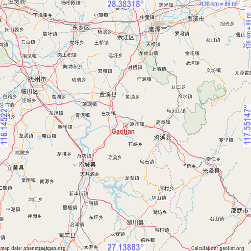
Gaotian GPS coordinates[2]
27° 45' 46.008" North, 116° 50' 54.024" East
| Map corner | latitude | longitude |
|---|---|---|
| Upper-left | 28.38318°, | 116.14522° |
| Center: | 27.76278°, | 116.84834° |
| Lower-right: | 27.13883°, | 117.55147° |
| Map W x H: | 138.4×138.4 km | = 86×86mi |
| max Lat: | 53.31946° ⇑75.4% North |
| Gaotian: | 27.76278° |
| min Lat: | ⇓24.6% South 18.22056° |
| min Long | Gaotian | max Long |
| 75.07348° | 116.84834° | 134.28917° |
| W 65.2%⇐ | ⇒34.8% E |
Elevation
Elevation of Gaotian is 91 m = 299 ft, and this is 393.8 m = 1292 ft below average elevation for this country.
| Max E: |
5622 m = 18445 ft | 61.3% |
| Avg. | 484.8 m = 1591 ft | |
| Gaotian | 91 m = 299 ft | |
Min E: |
-3 m = -10 ft | 38.7% |
See also: China elevation on elevation.city.
Geographical zone
Gaotian is located in North temperate zone (between Tropic of Cancer and the Arctic Circle). Distance of this Northern Tropic circle is 481 km =298.9 mi to South.| Distance of | km | miles | from Gaotian |
|---|---|---|---|
| North Pole | 6920.1 | 4299.9 | to North |
| Arctic Circle | 4314.2 | 2680.7 | to North |
| Tropic Cancer | 481 | 298.9 | to South |
| Equator | 3086.9 | 1918.1 | to South |


Nearby cities:
15 places around Gaotian: (largest is in red/bold)
• Dengfang
32.3 km =20.1 mi,  279°
279°
• Heyuan
27.8 km =17.3 mi,  21°
21°
• Hongmen
33 km =20.5 mi,  204°
204°
• Jianchang
30.6 km =19 mi,  222°
222°
• Lufang
27.7 km =17.2 mi,  354°
354°
• Shazhou
4.4 km =2.7 mi,  210°
210°
• Shimen
18.7 km =11.6 mi, 275°
• Shixia
11.3 km =7 mi,  152°
152°
• Shuangtang
32.4 km =20.1 mi,  339°
339°
• Songshi
6.6 km =4.1 mi,  79°
79°
• Tianjingyuan
32.4 km =20.1 mi, 217°
• Wanfang
28.1 km =17.5 mi,  234°
234°
• Xiugu
18 km =11.2 mi, 336°
• Xujia
20 km =12.4 mi, 231°
• Zuofang
11.7 km =7.3 mi,  305°
305°
Sources, notices
• [Note1] Compared only with cities in China existing in our database
• [Src1] Map data: © OpenStreetMap contributors (CC-BY-SA)
• [Src2] Other city data from geonames.org with taken over terms of usage.
• [Src3] Geographical zone / Annual Mean Temperature by Robert A. Rohde @ Wikipedia
