Tucheng geodata
Tucheng (Chongqing) is a seat of a fourth-order administrative division; located in China in Asia/Shanghai (GMT+8) time zone. In our database, there are 1268 cities with bigger population. Compared to other cities in China, 59.2% of cities are located further ↓South; 75.2% of cities are located further →East and 79.6% of cities have lower elevation than Tucheng. Note1


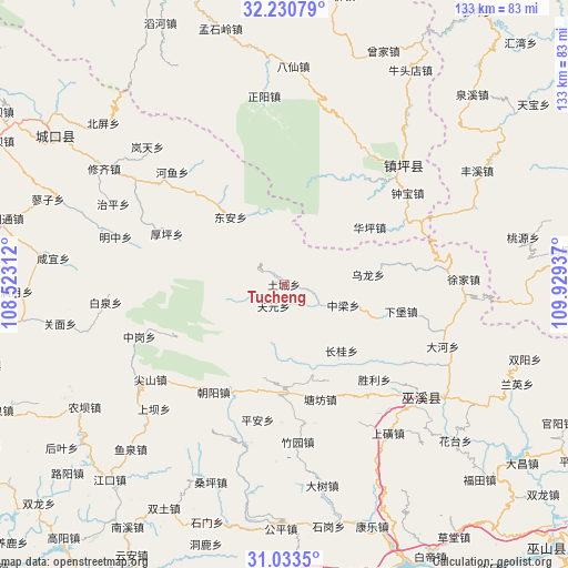
Tucheng GPS coordinates[2]
31° 38' 2.652" North, 109° 13' 34.464" East
| Map corner | latitude | longitude |
|---|---|---|
| Upper-left | 32.23079°, | 108.52312° |
| Center: | 31.63407°, | 109.22624° |
| Lower-right: | 31.0335°, | 109.92937° |
| Map W x H: | 133.1×133.1 km | = 82.7×82.7mi |
| max Lat: | 53.31946° ⇑40.8% North |
| Tucheng: | 31.63407° |
| min Lat: | ⇓59.2% South 18.22056° |
| min Long | Tucheng | max Long |
| 75.07348° | 109.22624° | 134.28917° |
| W 24.8%⇐ | ⇒75.2% E |
Elevation
Elevation of Tucheng is 674 m = 2211 ft, and this is 189.2 m = 621 ft above average elevation for this country.
| Max E: |
5622 m = 18445 ft | 20.4% |
| Tucheng | 674 m 2211 ft | |
| Avg. | 484.8 m = 1591 ft | |
Min E: |
-3 m = -10 ft | 79.6% |
See also: China elevation on elevation.city.
Geographical zone
Tucheng is located in North temperate zone (between Tropic of Cancer and the Arctic Circle). Distance of this Northern Tropic circle is 911.5 km =566.4 mi to South.| Distance of | km | miles | from Tucheng |
|---|---|---|---|
| North Pole | 6489.7 | 4032.5 | to North |
| Arctic Circle | 3883.8 | 2413.3 | to North |
| Tropic Cancer | 911.5 | 566.4 | to South |
| Equator | 3517.4 | 2185.6 | to South |


Nearby cities:
15 places around Tucheng: (largest is in red/bold)
• Changgui
20.5 km =12.7 mi,  139°
139°
• Chaoyangdong
30 km =18.6 mi,  212°
212°
• Dong’an
20.7 km =12.9 mi,  320°
320°
• Heyu
37.1 km =23.1 mi, 315°
• Houping
29.8 km =18.5 mi,  293°
293°
• Ping’an
32.3 km =20.1 mi,  191°
191°
• Shengli
30.5 km =19 mi, 136°
• Tangfang
27.9 km =17.3 mi,  163°
163°
• Tianxing
34.8 km =21.6 mi,  121°
121°
• Wenfeng
25.5 km =15.8 mi,  178°
178°
• Wulong
19.5 km =12.1 mi,  83°
83°
• Yulin
25 km =15.5 mi, 79°
• Zhonggang
35.9 km =22.3 mi,  250°
250°
• Zhongliang
11.8 km =7.3 mi,  114°
114°
• Zhuyuan
37 km =23 mi, 175°
Sources, notices
• [Note1] Compared only with cities in China existing in our database
• [Src1] Map data: © OpenStreetMap contributors (CC-BY-SA)
• [Src2] Other city data from geonames.org with taken over terms of usage.
• [Src3] Geographical zone / Annual Mean Temperature by Robert A. Rohde @ Wikipedia
