Ping’an geodata
Ping’an (Chongqing) is a seat of a fourth-order administrative division; located in China in Asia/Shanghai (GMT+8) time zone. In our database, there are 1268 cities with bigger population. Compared to other cities in China, 57.4% of cities are located further ↓South; 75.6% of cities are located further →East and 82.4% of cities have lower elevation than Ping’an. Note1


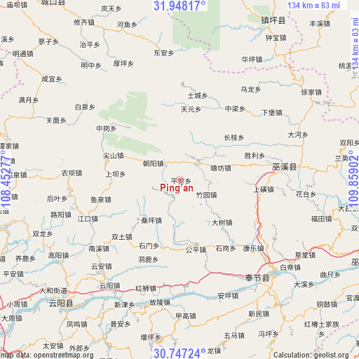
Ping’an GPS coordinates[2]
31° 20' 58.632" North, 109° 9' 21.204" East
| Map corner | latitude | longitude |
|---|---|---|
| Upper-left | 31.94817°, | 108.45277° |
| Center: | 31.34962°, | 109.15589° |
| Lower-right: | 30.74724°, | 109.85902° |
| Map W x H: | 133.5×133.5 km | = 83×83mi |
| max Lat: | 53.31946° ⇑42.6% North |
| Ping’an: | 31.34962° |
| min Lat: | ⇓57.4% South 18.22056° |
| min Long | Ping’an | max Long |
| 75.07348° | 109.15589° | 134.28917° |
| W 24.4%⇐ | ⇒75.6% E |
Elevation
Elevation of Ping’an is 808 m = 2651 ft, and this is 323.2 m = 1060 ft above average elevation for this country.
| Max E: |
5622 m = 18445 ft | 17.6% |
| Ping’an | 808 m 2651 ft | |
| Avg. | 484.8 m = 1591 ft | |
Min E: |
-3 m = -10 ft | 82.4% |
See also: China elevation on elevation.city.
Geographical zone
Ping’an is located in North temperate zone (between Tropic of Cancer and the Arctic Circle). Distance of this Northern Tropic circle is 879.8 km =546.7 mi to South.| Distance of | km | miles | from Ping’an |
|---|---|---|---|
| North Pole | 6521.3 | 4052.1 | to North |
| Arctic Circle | 3915.4 | 2432.9 | to North |
| Tropic Cancer | 879.8 | 546.7 | to South |
| Equator | 3485.8 | 2166 | to South |


Nearby cities:
15 places around Ping’an: (largest is in red/bold)
• Changgui
25.6 km =15.9 mi,  51°
51°
• Chaoyangdong
11.2 km =7 mi,  303°
303°
• Dashu
22 km =13.7 mi,  134°
134°
• Gongping
25.1 km =15.6 mi,  170°
170°
• Hongtu
25.6 km =15.9 mi,  192°
192°
• Jianshan
26.4 km =16.4 mi,  290°
290°
• Sangping
18.1 km =11.2 mi,  215°
215°
• Shashi
25.9 km =16.1 mi,  266°
266°
• Shimen
26.7 km =16.6 mi,  205°
205°
• Taiyang
24.9 km =15.5 mi, 213°
• Tangfang
15.3 km =9.5 mi,  71°
71°
• Tuba
23.7 km =14.7 mi,  276°
276°
• Wenfeng
9.7 km =6 mi, 50°
• Xinzheng
13.2 km =8.2 mi,  199°
199°
• Zhuyuan
11 km =6.8 mi,  118°
118°
Sources, notices
• [Note1] Compared only with cities in China existing in our database
• [Src1] Map data: © OpenStreetMap contributors (CC-BY-SA)
• [Src2] Other city data from geonames.org with taken over terms of usage.
• [Src3] Geographical zone / Annual Mean Temperature by Robert A. Rohde @ Wikipedia
