Guanmian geodata
Guanmian (Chongqing) is a seat of a fourth-order administrative division; located in China in Asia/Shanghai (GMT+8) time zone. In our database, there are 1268 cities with bigger population. Compared to other cities in China, 58.7% of cities are located further ↓South; 77.8% of cities are located further →East and 78.6% of cities have lower elevation than Guanmian. Note1


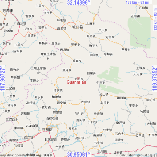
Guanmian GPS coordinates[2]
31° 33' 6.156" North, 108° 40' 13.404" East
| Map corner | latitude | longitude |
|---|---|---|
| Upper-left | 32.14896°, | 107.96727° |
| Center: | 31.55171°, | 108.67039° |
| Lower-right: | 30.95061°, | 109.37352° |
| Map W x H: | 133.2×133.2 km | = 82.8×82.8mi |
| max Lat: | 53.31946° ⇑41.3% North |
| Guanmian: | 31.55171° |
| min Lat: | ⇓58.7% South 18.22056° |
| min Long | Guanmian | max Long |
| 75.07348° | 108.67039° | 134.28917° |
| W 22.2%⇐ | ⇒77.8% E |
Elevation
Elevation of Guanmian is 639 m = 2096 ft, and this is 154.2 m = 506 ft above average elevation for this country.
| Max E: |
5622 m = 18445 ft | 21.4% |
| Guanmian | 639 m 2096 ft | |
| Avg. | 484.8 m = 1591 ft | |
Min E: |
-3 m = -10 ft | 78.6% |
See also: China elevation on elevation.city.
Geographical zone
Guanmian is located in North temperate zone (between Tropic of Cancer and the Arctic Circle). Distance of this Northern Tropic circle is 902.3 km =560.7 mi to South.| Distance of | km | miles | from Guanmian |
|---|---|---|---|
| North Pole | 6498.8 | 4038.2 | to North |
| Arctic Circle | 3893 | 2419 | to North |
| Tropic Cancer | 902.3 | 560.7 | to South |
| Equator | 3508.2 | 2179.9 | to South |


Nearby cities:
15 places around Guanmian: (largest is in red/bold)
• Baiquan
11.7 km =7.3 mi,  66°
66°
• Dajin
21.8 km =13.5 mi,  257°
257°
• Heqian
24.4 km =15.2 mi,  231°
231°
• Heyan
21.7 km =13.5 mi,  179°
179°
• Jianshan
25 km =15.5 mi,  121°
121°
• Jiwu
19.3 km =12 mi,  339°
339°
• Manyue
12.6 km =7.8 mi,  306°
306°
• Mingtong
27.5 km =17.1 mi,  333°
333°
• Mingzhong
24.4 km =15.2 mi,  34°
34°
• Nongba
20.4 km =12.7 mi,  161°
161°
• Tanjia
19.5 km =12.1 mi,  236°
236°
• Tianba
24.8 km =15.4 mi,  132°
132°
• Wenquan
25.6 km =15.9 mi,  213°
213°
• Xianyi
15.4 km =9.6 mi,  354°
354°
• Zhonggang
19.1 km =11.9 mi,  99°
99°
Sources, notices
• [Note1] Compared only with cities in China existing in our database
• [Src1] Map data: © OpenStreetMap contributors (CC-BY-SA)
• [Src2] Other city data from geonames.org with taken over terms of usage.
• [Src3] Geographical zone / Annual Mean Temperature by Robert A. Rohde @ Wikipedia
