Huanghe geodata
Huanghe (Chongqing) is a seat of a fourth-order administrative division; located in China in Asia/Shanghai (GMT+8) time zone. In our database, there are 1268 cities with bigger population. Compared to other cities in China, 55.9% of cities are located further ↑North; 79.1% of cities are located further →East and 79.3% of cities have lower elevation than Huanghe. Note1


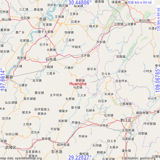
Huanghe GPS coordinates[2]
29° 50' 24.108" North, 108° 21' 52.272" East
| Map corner | latitude | longitude |
|---|---|---|
| Upper-left | 30.44806°, | 107.6614° |
| Center: | 29.84003°, | 108.36452° |
| Lower-right: | 29.22827°, | 109.06765° |
| Map W x H: | 135.6×135.6 km | = 84.3×84.3mi |
| max Lat: | 53.31946° ⇑55.9% North |
| Huanghe: | 29.84003° |
| min Lat: | ⇓44.1% South 18.22056° |
| min Long | Huanghe | max Long |
| 75.07348° | 108.36452° | 134.28917° |
| W 20.9%⇐ | ⇒79.1% E |
Elevation
Elevation of Huanghe is 662 m = 2172 ft, and this is 177.2 m = 581 ft above average elevation for this country.
| Max E: |
5622 m = 18445 ft | 20.7% |
| Huanghe | 662 m 2172 ft | |
| Avg. | 484.8 m = 1591 ft | |
Min E: |
-3 m = -10 ft | 79.3% |
See also: China elevation on elevation.city.
Geographical zone
Huanghe is located in North temperate zone (between Tropic of Cancer and the Arctic Circle). Distance of this Northern Tropic circle is 712 km =442.4 mi to South.| Distance of | km | miles | from Huanghe |
|---|---|---|---|
| North Pole | 6689.2 | 4156.5 | to North |
| Arctic Circle | 4083.3 | 2537.2 | to North |
| Tropic Cancer | 712 | 442.4 | to South |
| Equator | 3317.9 | 2061.6 | to South |


Nearby cities:
15 places around Huanghe: (largest is in red/bold)
• Baishi
25.8 km =16 mi,  132°
132°
• Huangxi
24.1 km =15 mi,  109°
109°
• Jinling
21.1 km =13.1 mi,  36°
36°
• Lianhu
17.2 km =10.7 mi,  156°
156°
• Lishui
26.9 km =16.7 mi,  92°
92°
• Liutang
13.3 km =8.3 mi,  320°
320°
• Longtan
9.5 km =5.9 mi,  269°
269°
• Mawu
6.2 km =3.9 mi,  197°
197°
• Puzi
23.3 km =14.5 mi,  188°
188°
• Sanxing
25.5 km =15.8 mi,  284°
284°
• Shazi
21.3 km =13.2 mi,  11°
11°
• Taipingba
23.9 km =14.9 mi,  239°
239°
• Wendou
22.6 km =14 mi,  75°
75°
• Xinle
13.9 km =8.6 mi,  45°
45°
• Xixin
9.3 km =5.8 mi,  18°
18°
Sources, notices
• [Note1] Compared only with cities in China existing in our database
• [Src1] Map data: © OpenStreetMap contributors (CC-BY-SA)
• [Src2] Other city data from geonames.org with taken over terms of usage.
• [Src3] Geographical zone / Annual Mean Temperature by Robert A. Rohde @ Wikipedia
