Maguan geodata
Maguan (Chongqing) is a seat of a fourth-order administrative division; located in China in Asia/Shanghai (GMT+8) time zone. In our database, there are 1268 cities with bigger population. Compared to other cities in China, 50.4% of cities are located further ↑North; 81.4% of cities are located further →East and 75.2% of cities have lower elevation than Maguan. Note1


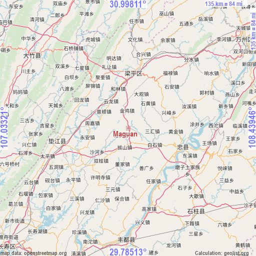
Maguan GPS coordinates[2]
30° 23' 36.6" North, 107° 44' 10.788" East
| Map corner | latitude | longitude |
|---|---|---|
| Upper-left | 30.99811°, | 107.03321° |
| Center: | 30.3935°, | 107.73633° |
| Lower-right: | 29.78513°, | 108.43946° |
| Map W x H: | 134.9×134.9 km | = 83.8×83.8mi |
| max Lat: | 53.31946° ⇑50.4% North |
| Maguan: | 30.3935° |
| min Lat: | ⇓49.6% South 18.22056° |
| min Long | Maguan | max Long |
| 75.07348° | 107.73633° | 134.28917° |
| W 18.6%⇐ | ⇒81.4% E |
Elevation
Elevation of Maguan is 526 m = 1726 ft, and this is 41.2 m = 135 ft above average elevation for this country.
| Max E: |
5622 m = 18445 ft | 24.8% |
| Maguan | 526 m 1726 ft | |
| Avg. | 484.8 m = 1591 ft | |
Min E: |
-3 m = -10 ft | 75.2% |
See also: China elevation on elevation.city.
Geographical zone
Maguan is located in North temperate zone (between Tropic of Cancer and the Arctic Circle). Distance of this Northern Tropic circle is 773.5 km =480.6 mi to South.| Distance of | km | miles | from Maguan |
|---|---|---|---|
| North Pole | 6627.6 | 4118.2 | to North |
| Arctic Circle | 4021.7 | 2499 | to North |
| Tropic Cancer | 773.5 | 480.6 | to South |
| Equator | 3379.4 | 2099.9 | to South |


Nearby cities:
15 places around Maguan: (largest is in red/bold)
• Baishi
16.4 km =10.2 mi,  121°
121°
• Bashan
8.8 km =5.5 mi,  182°
182°
• Daguan
19.1 km =11.9 mi,  20°
20°
• Dongjia
19.1 km =11.9 mi,  188°
188°
• Guanba
17.5 km =10.9 mi,  52°
52°
• Helin
21.5 km =13.4 mi,  345°
345°
• Huaqiao
5.4 km =3.4 mi,  227°
227°
• Jinji
9.3 km =5.8 mi,  356°
356°
• Pushun
15.5 km =9.6 mi,  304°
304°
• Sanhui
12.8 km =8 mi,  96°
96°
• Tiemen
12.4 km =7.7 mi, 348°
• Xinli
15.3 km =9.5 mi,  215°
215°
• Yongfeng
11.5 km =7.1 mi,  136°
136°
• Yunlong
17 km =10.6 mi,  327°
327°
• Zhoujia
19.2 km =11.9 mi,  278°
278°
Sources, notices
• [Note1] Compared only with cities in China existing in our database
• [Src1] Map data: © OpenStreetMap contributors (CC-BY-SA)
• [Src2] Other city data from geonames.org with taken over terms of usage.
• [Src3] Geographical zone / Annual Mean Temperature by Robert A. Rohde @ Wikipedia
