Wenhua geodata
Wenhua (Shandong) is a seat of a third-order administrative division; located in China in Asia/Shanghai (GMT+8) time zone. In our database, there are 1268 cities with bigger population. Compared to other cities in China, 80% of cities are located further ↓South; 90.3% of cities are located further ←West and 87.7% of cities have higher elevation than Wenhua. Note1


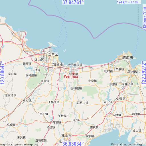
Wenhua GPS coordinates[2]
37° 23' 27.816" North, 121° 35' 22.524" East
| Map corner | latitude | longitude |
|---|---|---|
| Upper-left | 37.94761°, | 120.88647° |
| Center: | 37.39106°, | 121.58959° |
| Lower-right: | 36.83034°, | 122.29272° |
| Map W x H: | 124.2×124.2 km | = 77.2×77.2mi |
| max Lat: | 53.31946° ⇑20% North |
| Wenhua: | 37.39106° |
| min Lat: | ⇓80% South 18.22056° |
| min Long | Wenhua | max Long |
| 75.07348° | 121.58959° | 134.28917° |
| W 90.3%⇐ | ⇒9.7% E |
Elevation
Elevation of Wenhua is 12 m = 39 ft, and this is 472.8 m = 1551 ft below average elevation for this country.
| Max E: |
5622 m = 18445 ft | 87.7% |
| Avg. | 484.8 m = 1591 ft | |
| Wenhua | 12 m = 39 ft | |
Min E: |
-3 m = -10 ft | 12.3% |
See also: China elevation on elevation.city.
Geographical zone
Wenhua is located in North temperate zone (between Tropic of Cancer and the Arctic Circle). Distance of this Northern Tropic circle is 1551.6 km =964.1 mi to South.| Distance of | km | miles | from Wenhua |
|---|---|---|---|
| North Pole | 5849.6 | 3634.8 | to North |
| Arctic Circle | 3243.7 | 2015.5 | to North |
| Tropic Cancer | 1551.6 | 964.1 | to South |
| Equator | 4157.5 | 2583.3 | to South |


Nearby cities:
15 places around Wenhua: (largest is in red/bold)
• Binhailu
15.1 km =9.4 mi,  291°
291°
• Dayao
6 km =3.7 mi,  91°
91°
• Gaoling
12.3 km =7.6 mi,  208°
208°
• Huanghai
17.1 km =10.6 mi,  309°
309°
• Jianggezhuang
20.2 km =12.6 mi,  82°
82°
• Jiejiazhuang
9 km =5.6 mi,  271°
271°
• Laishan
18.5 km =11.5 mi, 270°
• Longquan
17.4 km =10.8 mi,  112°
112°
• Ninghai
1.8 km =1.1 mi, 114°
• Shihuiyao
23.6 km =14.7 mi,  303°
303°
• Wuning
3.9 km =2.4 mi,  229°
229°
• Xiangyang
23.3 km =14.5 mi, 312°
• Yangmadao
7.5 km =4.7 mi,  13°
13°
• Yantai
16.2 km =10.1 mi, 305°
• Yulindian
12.9 km =8 mi,  168°
168°
Sources, notices
• [Note1] Compared only with cities in China existing in our database
• [Src1] Map data: © OpenStreetMap contributors (CC-BY-SA)
• [Src2] Other city data from geonames.org with taken over terms of usage.
• [Src3] Geographical zone / Annual Mean Temperature by Robert A. Rohde @ Wikipedia
