Wentugaole geodata
Wentugaole (Inner Mongolia) is a seat of a fourth-order administrative division; located in China in Asia/Shanghai (GMT+8) time zone. In our database, there are 1268 cities with bigger population. Compared to other cities in China, 90% of cities are located further ↓South; 92.7% of cities are located further →East and 84.4% of cities have lower elevation than Wentugaole. Note1


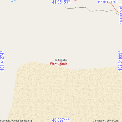
Wentugaole GPS coordinates[2]
41° 25' 35.256" North, 102° 6' 57.096" East
| Map corner | latitude | longitude |
|---|---|---|
| Upper-left | 41.95153°, | 101.41274° |
| Center: | 41.42646°, | 102.11586° |
| Lower-right: | 40.89711°, | 102.81899° |
| Map W x H: | 117.2×117.2 km | = 72.8×72.8mi |
| max Lat: | 53.31946° ⇑10% North |
| Wentugaole: | 41.42646° |
| min Lat: | ⇓90% South 18.22056° |
| min Long | Wentugaole | max Long |
| 75.07348° | 102.11586° | 134.28917° |
| W 7.3%⇐ | ⇒92.7% E |
Elevation
Elevation of Wentugaole is 945 m = 3100 ft, and this is 460.2 m = 1510 ft above average elevation for this country.
| Max E: |
5622 m = 18445 ft | 15.6% |
| Wentugaole | 945 m 3100 ft | |
| Avg. | 484.8 m = 1591 ft | |
Min E: |
-3 m = -10 ft | 84.4% |
See also: China elevation on elevation.city.
Geographical zone
Wentugaole is located in North temperate zone (between Tropic of Cancer and the Arctic Circle). Distance of this Northern Tropic circle is 2000.3 km =1242.9 mi to South.| Distance of | km | miles | from Wentugaole |
|---|---|---|---|
| North Pole | 5400.9 | 3356 | to North |
| Arctic Circle | 2795 | 1736.7 | to North |
| Tropic Cancer | 2000.3 | 1242.9 | to South |
| Equator | 4606.2 | 2862.2 | to South |


Nearby cities:
15 places around Wentugaole: (largest is in red/bold)
• Ailibugai
288.4 km =179.2 mi,  189°
189°
• Banqiao
281.9 km =175.2 mi,  212°
212°
• Bayanbaogede
138.5 km =86.1 mi,  260°
260°
• Dalain Hob
105.9 km =65.8 mi,  304°
304°
• Ehen Hudag
249.3 km =154.9 mi, 188°
• Gurinai
104.8 km =65.1 mi, 214°
• Hongsihu
292.6 km =181.8 mi,  195°
195°
• Jiji
269.5 km =167.5 mi,  238°
238°
• Jirigalangtu
100.2 km =62.3 mi,  305°
305°
• Liaoquan
290.5 km =180.5 mi,  217°
217°
• Luocheng
290.5 km =180.5 mi,  228°
228°
• Nurigai
232 km =144.2 mi, 202°
• Pingshanhu
274.2 km =170.4 mi, 203°
• Saihantaolai
134.7 km =83.7 mi,  292°
292°
• Subonao’er
116.7 km =72.5 mi, 311°
Sources, notices
• [Note1] Compared only with cities in China existing in our database
• [Src1] Map data: © OpenStreetMap contributors (CC-BY-SA)
• [Src2] Other city data from geonames.org with taken over terms of usage.
• [Src3] Geographical zone / Annual Mean Temperature by Robert A. Rohde @ Wikipedia
