Gurinai geodata
Gurinai (Inner Mongolia) is a seat of a fourth-order administrative division; located in China in Asia/Shanghai (GMT+8) time zone. In our database, there are 1268 cities with bigger population. Compared to other cities in China, 88.4% of cities are located further ↓South; 93.5% of cities are located further →East and 86.1% of cities have lower elevation than Gurinai. Note1


Gurinai GPS coordinates[2]
40° 39' 13.68" North, 101° 23' 59.532" East
| Map corner | latitude | longitude |
|---|---|---|
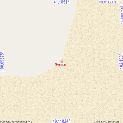
| Upper-left | 41.1851°, | 100.69675° |
| Center: | 40.6538°, | 101.39987° |
| Lower-right: | 40.11824°, | 102.103° |
| Map W x H: | 118.6×118.6 km | = 73.7×73.7mi |
| max Lat: | 53.31946° ⇑11.6% North |
| Gurinai: | 40.6538° |
| min Lat: | ⇓88.4% South 18.22056° |
| min Long | Gurinai | max Long |
| 75.07348° | 101.39987° | 134.28917° |
| W 6.5%⇐ | ⇒93.5% E |
Elevation
Elevation of Gurinai is 1049 m = 3442 ft, and this is 564.2 m = 1851 ft above average elevation for this country.
| Max E: |
5622 m = 18445 ft | 13.9% |
| Gurinai | 1049 m 3442 ft | |
| Avg. | 484.8 m = 1591 ft | |
Min E: |
-3 m = -10 ft | 86.1% |
See also: China elevation on elevation.city.
Geographical zone
Gurinai is located in North temperate zone (between Tropic of Cancer and the Arctic Circle). Distance of this Northern Tropic circle is 1914.4 km =1189.6 mi to South.| Distance of | km | miles | from Gurinai |
|---|---|---|---|
| North Pole | 5486.8 | 3409.3 | to North |
| Arctic Circle | 2880.9 | 1790.1 | to North |
| Tropic Cancer | 1914.4 | 1189.6 | to South |
| Equator | 4520.3 | 2808.8 | to South |


Nearby cities:
15 places around Gurinai: (largest is in red/bold)
• Banqiao
177.1 km =110 mi,  211°
211°
• Bayanbaogede
100.6 km =62.5 mi,  309°
309°
• Dalain Hob
148.5 km =92.3 mi,  349°
349°
• Ehen Hudag
162.1 km =100.7 mi,  171°
171°
• Hongsihu
196.4 km =122 mi,  185°
185°
• Jiji
178.7 km =111 mi,  251°
251°
• Jing’an
191.8 km =119.2 mi, 206°
• Jirigalangtu
145.3 km =90.3 mi, 351°
• Liaoquan
185.9 km =115.5 mi,  218°
218°
• Luocheng
190.4 km =118.3 mi,  235°
235°
• Nurigai
131.8 km =81.9 mi, 191°
• Pingshanhu
172.7 km =107.3 mi,  196°
196°
• Saihantaolai
151.4 km =94.1 mi,  334°
334°
• Subonao’er
166.3 km =103.3 mi, 350°
• Wentugaole
104.8 km =65.1 mi,  34°
34°
Sources, notices
• [Note1] Compared only with cities in China existing in our database
• [Src1] Map data: © OpenStreetMap contributors (CC-BY-SA)
• [Src2] Other city data from geonames.org with taken over terms of usage.
• [Src3] Geographical zone / Annual Mean Temperature by Robert A. Rohde @ Wikipedia
