Yanqiao geodata
Yanqiao (Jiangsu) is a seat of a third-order administrative division; located in China in Asia/Shanghai (GMT+8) time zone. In our database, there are 1268 cities with bigger population. Compared to other cities in China, 59.4% of cities are located further ↓South; 83.8% of cities are located further ←West and 99.4% of cities have higher elevation than Yanqiao. Note1


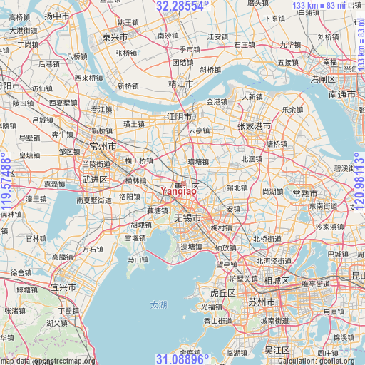
Yanqiao GPS coordinates[2]
31° 41' 21.048" North, 120° 16' 40.8" East
| Map corner | latitude | longitude |
|---|---|---|
| Upper-left | 32.28554°, | 119.57488° |
| Center: | 31.68918°, | 120.278° |
| Lower-right: | 31.08896°, | 120.98113° |
| Map W x H: | 133×133 km | = 82.6×82.6mi |
| max Lat: | 53.31946° ⇑40.6% North |
| Yanqiao: | 31.68918° |
| min Lat: | ⇓59.4% South 18.22056° |
| min Long | Yanqiao | max Long |
| 75.07348° | 120.278° | 134.28917° |
| W 83.8%⇐ | ⇒16.2% E |
Elevation
Elevation of Yanqiao is 2 m = 7 ft, and this is 482.8 m = 1584 ft below average elevation for this country.
| Max E: |
5622 m = 18445 ft | 99.4% |
| Avg. | 484.8 m = 1591 ft | |
| Yanqiao | 2 m = 7 ft | |
Min E: |
-3 m = -10 ft | 0.6% |
See also: China elevation on elevation.city.
Geographical zone
Yanqiao is located in North temperate zone (between Tropic of Cancer and the Arctic Circle). Distance of this Northern Tropic circle is 917.6 km =570.2 mi to South.| Distance of | km | miles | from Yanqiao |
|---|---|---|---|
| North Pole | 6483.6 | 4028.7 | to North |
| Arctic Circle | 3877.7 | 2409.5 | to North |
| Tropic Cancer | 917.6 | 570.2 | to South |
| Equator | 3523.5 | 2189.4 | to South |


Nearby cities:
15 places around Yanqiao: (largest is in red/bold)
• Beidajie
11.6 km =7.2 mi,  174°
174°
• Changjianglu
15 km =9.3 mi,  156°
156°
• Chong’ansi
12.3 km =7.6 mi, 172°
• Dongbeitang
9.5 km =5.9 mi,  130°
130°
• Liutan
7.8 km =4.8 mi, 170°
• Luoshe
10.3 km =6.4 mi,  241°
241°
• Nanchansi
14.3 km =8.9 mi, 171°
• Qianqiao
11 km =6.8 mi,  206°
206°
• Qianzhou
6.1 km =3.8 mi,  272°
272°
• Qingyang
8.8 km =5.5 mi,  343°
343°
• Wuxi
13.4 km =8.3 mi,  175°
175°
• Xibei
15 km =9.3 mi,  103°
103°
• Xuxiake
9.9 km =6.2 mi,  34°
34°
• Yuecheng
14.2 km =8.8 mi, 344°
• Yuqi
9.5 km =5.9 mi,  289°
289°
Sources, notices
• [Note1] Compared only with cities in China existing in our database
• [Src1] Map data: © OpenStreetMap contributors (CC-BY-SA)
• [Src2] Other city data from geonames.org with taken over terms of usage.
• [Src3] Geographical zone / Annual Mean Temperature by Robert A. Rohde @ Wikipedia
