Tanshan geodata
Tanshan (Hubei) is a seat of a fourth-order administrative division; located in China in Asia/Shanghai (GMT+8) time zone. In our database, there are 1268 cities with bigger population. Compared to other cities in China, 66.2% of cities are located further ↓South; 66.6% of cities are located further →East and 58.5% of cities have lower elevation than Tanshan. Note1


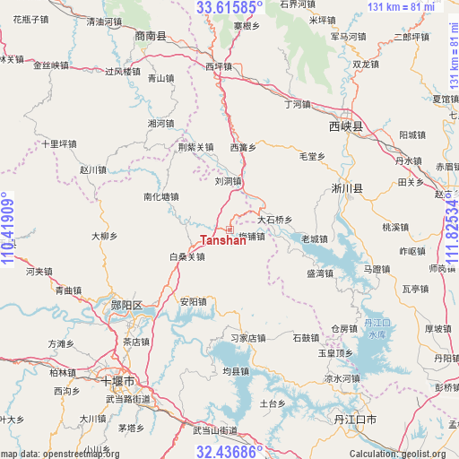
Tanshan GPS coordinates[2]
33° 1' 41.988" North, 111° 7' 19.956" East
| Map corner | latitude | longitude |
|---|---|---|
| Upper-left | 33.61585°, | 110.41909° |
| Center: | 33.02833°, | 111.12221° |
| Lower-right: | 32.43686°, | 111.82534° |
| Map W x H: | 131.1×131.1 km | = 81.5×81.5mi |
| max Lat: | 53.31946° ⇑33.8% North |
| Tanshan: | 33.02833° |
| min Lat: | ⇓66.2% South 18.22056° |
| min Long | Tanshan | max Long |
| 75.07348° | 111.12221° | 134.28917° |
| W 33.4%⇐ | ⇒66.6% E |
Elevation
Elevation of Tanshan is 241 m = 791 ft, and this is 243.8 m = 800 ft below average elevation for this country.
| Max E: |
5622 m = 18445 ft | 41.5% |
| Avg. | 484.8 m = 1591 ft | |
| Tanshan | 241 m = 791 ft | |
Min E: |
-3 m = -10 ft | 58.5% |
See also: China elevation on elevation.city.
Geographical zone
Tanshan is located in North temperate zone (between Tropic of Cancer and the Arctic Circle). Distance of this Northern Tropic circle is 1066.5 km =662.7 mi to South.| Distance of | km | miles | from Tanshan |
|---|---|---|---|
| North Pole | 6334.7 | 3936.2 | to North |
| Arctic Circle | 3728.8 | 2317 | to North |
| Tropic Cancer | 1066.5 | 662.7 | to South |
| Equator | 3672.4 | 2281.9 | to South |


Nearby cities:
15 places around Tanshan: (largest is in red/bold)
• Anyang
22.8 km =14.2 mi,  207°
207°
• Bailang
26.1 km =16.2 mi,  331°
331°
• Baisangguan
14.3 km =8.9 mi,  239°
239°
• Chadian
41.5 km =25.8 mi,  220°
220°
• Daliu
36 km =22.4 mi,  267°
267°
• Haoping
34 km =21.1 mi,  157°
157°
• Junxian
40.1 km =24.9 mi,  177°
177°
• Liudong
14.1 km =8.8 mi,  357°
357°
• Meipu
6.5 km =4 mi,  104°
104°
• Nanhuatang
22 km =13.7 mi,  296°
296°
• Qingshan
38.4 km =23.9 mi, 210°
• Shigu
37.6 km =23.4 mi,  144°
144°
• Xijiadian
31.1 km =19.3 mi,  170°
170°
• Yangxipu
31.4 km =19.5 mi,  226°
226°
• Yunxian Chengguanzhen
36.5 km =22.7 mi, 233°
Sources, notices
• [Note1] Compared only with cities in China existing in our database
• [Src1] Map data: © OpenStreetMap contributors (CC-BY-SA)
• [Src2] Other city data from geonames.org with taken over terms of usage.
• [Src3] Geographical zone / Annual Mean Temperature by Robert A. Rohde @ Wikipedia
