Bailang geodata
Bailang (Hubei) is a seat of a fourth-order administrative division; located in China in Asia/Shanghai (GMT+8) time zone. In our database, there are 1268 cities with bigger population. Compared to other cities in China, 67.1% of cities are located further ↓South; 67% of cities are located further →East and 62.4% of cities have lower elevation than Bailang. Note1


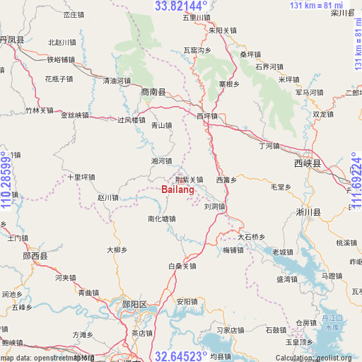
Bailang GPS coordinates[2]
33° 14' 7.116" North, 110° 59' 20.796" East
| Map corner | latitude | longitude |
|---|---|---|
| Upper-left | 33.82144°, | 110.28599° |
| Center: | 33.23531°, | 110.98911° |
| Lower-right: | 32.64523°, | 111.69224° |
| Map W x H: | 130.8×130.8 km | = 81.3×81.3mi |
| max Lat: | 53.31946° ⇑32.9% North |
| Bailang: | 33.23531° |
| min Lat: | ⇓67.1% South 18.22056° |
| min Long | Bailang | max Long |
| 75.07348° | 110.98911° | 134.28917° |
| W 33%⇐ | ⇒67% E |
Elevation
Elevation of Bailang is 288 m = 945 ft, and this is 196.8 m = 646 ft below average elevation for this country.
| Max E: |
5622 m = 18445 ft | 37.6% |
| Avg. | 484.8 m = 1591 ft | |
| Bailang | 288 m = 945 ft | |
Min E: |
-3 m = -10 ft | 62.4% |
See also: China elevation on elevation.city.
Geographical zone
Bailang is located in North temperate zone (between Tropic of Cancer and the Arctic Circle). Distance of this Northern Tropic circle is 1089.5 km =677 mi to South.| Distance of | km | miles | from Bailang |
|---|---|---|---|
| North Pole | 6311.6 | 3921.8 | to North |
| Arctic Circle | 3705.8 | 2302.7 | to North |
| Tropic Cancer | 1089.5 | 677 | to South |
| Equator | 3695.4 | 2296.2 | to South |


Nearby cities:
15 places around Bailang: (largest is in red/bold)
• Anjia
51.3 km =31.9 mi,  240°
240°
• Anyang
43.4 km =27 mi,  177°
177°
• Baisangguan
30.3 km =18.8 mi, 179°
• Daliu
33.9 km =21.1 mi,  223°
223°
• Hejia
54.5 km =33.9 mi,  230°
230°
• Liubei
52.4 km =32.6 mi,  204°
204°
• Liudong
14.7 km =9.1 mi,  127°
127°
• Meipu
30.9 km =19.2 mi,  142°
142°
• Nanhuatang
15.2 km =9.4 mi,  209°
209°
• Qingqu
52.2 km =32.4 mi, 220°
• Tanshan
26.1 km =16.2 mi,  151°
151°
• Xijiadian
56.5 km =35.1 mi,  161°
161°
• Yangxipu
45.7 km =28.4 mi,  193°
193°
• Yunxian Chengguanzhen
48 km =29.8 mi, 200°
• Zijin
45.5 km =28.3 mi,  82°
82°
Sources, notices
• [Note1] Compared only with cities in China existing in our database
• [Src1] Map data: © OpenStreetMap contributors (CC-BY-SA)
• [Src2] Other city data from geonames.org with taken over terms of usage.
• [Src3] Geographical zone / Annual Mean Temperature by Robert A. Rohde @ Wikipedia
