Bailuquan geodata
Bailuquan (Henan) is a seat of a fourth-order administrative division; located in China in Asia/Shanghai (GMT+8) time zone. In our database, there are 1268 cities with bigger population. Compared to other cities in China, 81% of cities are located further ↓South; 50.2% of cities are located further ←West and 50.2% of cities have higher elevation than Bailuquan. Note1


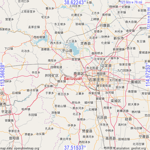
Bailuquan GPS coordinates[2]
38° 4' 15.564" North, 114° 16' 9.84" East
| Map corner | latitude | longitude |
|---|---|---|
| Upper-left | 38.62243°, | 113.56628° |
| Center: | 38.07099°, | 114.2694° |
| Lower-right: | 37.51537°, | 114.97253° |
| Map W x H: | 123.1×123.1 km | = 76.5×76.5mi |
| max Lat: | 53.31946° ⇑19% North |
| Bailuquan: | 38.07099° |
| min Lat: | ⇓81% South 18.22056° |
| min Long | Bailuquan | max Long |
| 75.07348° | 114.2694° | 134.28917° |
| W 50.2%⇐ | ⇒49.8% E |
Elevation
Elevation of Bailuquan is 163 m = 535 ft, and this is 321.8 m = 1056 ft below average elevation for this country.
| Max E: |
5622 m = 18445 ft | 50.2% |
| Avg. | 484.8 m = 1591 ft | |
| Bailuquan | 163 m = 535 ft | |
Min E: |
-3 m = -10 ft | 49.8% |
See also: China elevation on elevation.city.
Geographical zone
Bailuquan is located in North temperate zone (between Tropic of Cancer and the Arctic Circle). Distance of this Northern Tropic circle is 1627.2 km =1011.1 mi to South.| Distance of | km | miles | from Bailuquan |
|---|---|---|---|
| North Pole | 5774 | 3587.8 | to North |
| Arctic Circle | 3168.1 | 1968.6 | to North |
| Tropic Cancer | 1627.2 | 1011.1 | to South |
| Equator | 4233.1 | 2630.3 | to South |


Nearby cities:
15 places around Bailuquan: (largest is in red/bold)
• Beizheng
16.8 km =10.4 mi,  265°
265°
• Daguo
12.3 km =7.6 mi,  88°
88°
• Dahe
12 km =7.5 mi,  51°
51°
• Dubei
15.9 km =9.9 mi,  64°
64°
• Hengbei
18.4 km =11.4 mi, 267°
• Huolu
2.6 km =1.6 mi,  65°
65°
• Licun
15.2 km =9.4 mi,  24°
24°
• Liuying
13.5 km =8.4 mi,  98°
98°
• Shangzhuang
9.9 km =6.2 mi,  116°
116°
• Shang’an
5.5 km =3.4 mi,  260°
260°
• Shijing
4.3 km =2.7 mi, 24°
• Sunzhuang
14.6 km =9.1 mi,  307°
307°
• Weizhou
11.2 km =7 mi,  290°
290°
• Yi’an
13.1 km =8.1 mi,  2°
2°
• Zhaolingpu
17.4 km =10.8 mi,  79°
79°
Sources, notices
• [Note1] Compared only with cities in China existing in our database
• [Src1] Map data: © OpenStreetMap contributors (CC-BY-SA)
• [Src2] Other city data from geonames.org with taken over terms of usage.
• [Src3] Geographical zone / Annual Mean Temperature by Robert A. Rohde @ Wikipedia
