Aral geodata
Aral (Xinjiang) is a seat of a third-order administrative division; located in China in Asia/Urumqi (GMT+6) time zone. With population of 260,000 people, there are 192 cities with bigger population in this country. Compared to other cities in China, 88.2% of cities are located further ↓South; 99.3% of cities are located further →East and 85.5% of cities have lower elevation than Aral. Note1


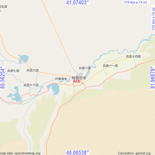
Aral GPS coordinates[2]
40° 32' 30.624" North, 81° 15' 56.376" East
| Map corner | latitude | longitude |
|---|---|---|
| Upper-left | 41.07403°, | 80.56254° |
| Center: | 40.54184°, | 81.26566° |
| Lower-right: | 40.00538°, | 81.96879° |
| Map W x H: | 118.8×118.8 km | = 73.8×73.8mi |
| max Lat: | 53.31946° ⇑11.8% North |
| Aral: | 40.54184° |
| min Lat: | ⇓88.2% South 18.22056° |
| min Long | Aral | max Long |
| 75.07348° | 81.26566° | 134.28917° |
| W 0.7%⇐ | ⇒99.3% E |
Elevation
Elevation of Aral is 1014 m = 3327 ft, and this is 529.2 m = 1736 ft above average elevation for this country.
| Max E: |
5622 m = 18445 ft | 14.5% |
| Aral | 1014 m 3327 ft | |
| Avg. | 484.8 m = 1591 ft | |
Min E: |
-3 m = -10 ft | 85.5% |
See also: Aral elevation on elevation.city.
Geographical zone
Aral is located in North temperate zone (between Tropic of Cancer and the Arctic Circle). Distance of this Northern Tropic circle is 1901.9 km =1181.8 mi to South.| Distance of | km | miles | from Aral |
|---|---|---|---|
| North Pole | 5499.2 | 3417 | to North |
| Arctic Circle | 2893.3 | 1797.8 | to North |
| Tropic Cancer | 1901.9 | 1181.8 | to South |
| Equator | 4507.8 | 2801 | to South |


Nearby cities:
15 places around Aral: (largest is in red/bold)
• Aksu
109.5 km =68 mi,  310°
310°
• Awat
75.6 km =47 mi,  278°
278°
• Aykol
105.8 km =65.7 mi,  295°
295°
• Baicheng
146 km =90.7 mi,  20°
20°
• Bozidun
136.9 km =85.1 mi,  342°
342°
• Daqiao
123.5 km =76.7 mi,  11°
11°
• Jiamu
100.3 km =62.3 mi,  323°
323°
• Kizil
87.1 km =54.1 mi, 313°
• Qarqi
116.2 km =72.2 mi,  4°
4°
• Qilan
139.3 km =86.6 mi,  271°
271°
• Tamutuo Gelake
132 km =82 mi,  47°
47°
• Tumxuk
142.9 km =88.8 mi, 310°
• Wensu
118.3 km =73.5 mi, 313°
• Wuluquele
66.8 km =41.5 mi,  261°
261°
• Youludu Sibage
146.8 km =91.2 mi,  40°
40°
Sources, notices
• [Note1] Compared only with cities in China existing in our database
• [Src1] Map data: © OpenStreetMap contributors (CC-BY-SA)
• [Src2] Other city data from geonames.org with taken over terms of usage.
• [Src3] Geographical zone / Annual Mean Temperature by Robert A. Rohde @ Wikipedia
