Qingyanghu geodata
Qingyanghu (Xinjiang) is a seat of a fourth-order administrative division; located in China in Asia/Urumqi (GMT+6) time zone. In our database, there are 1268 cities with bigger population. Compared to other cities in China, 92.9% of cities are located further ↓South; 97.7% of cities are located further →East and 79.7% of cities have lower elevation than Qingyanghu. Note1


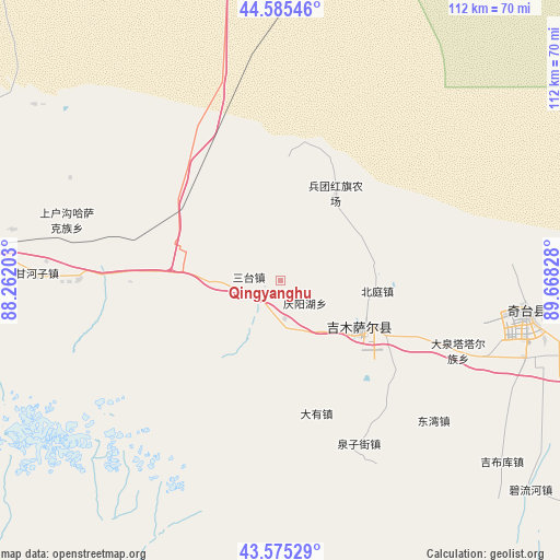
Qingyanghu GPS coordinates[2]
44° 4' 57.108" North, 88° 57' 54.54" East
| Map corner | latitude | longitude |
|---|---|---|
| Upper-left | 44.58546°, | 88.26203° |
| Center: | 44.08253°, | 88.96515° |
| Lower-right: | 43.57529°, | 89.66828° |
| Map W x H: | 112.3×112.3 km | = 69.8×69.8mi |
| max Lat: | 53.31946° ⇑7.1% North |
| Qingyanghu: | 44.08253° |
| min Lat: | ⇓92.9% South 18.22056° |
| min Long | Qingyanghu | max Long |
| 75.07348° | 88.96515° | 134.28917° |
| W 2.3%⇐ | ⇒97.7% E |
Elevation
Elevation of Qingyanghu is 683 m = 2241 ft, and this is 198.2 m = 650 ft above average elevation for this country.
| Max E: |
5622 m = 18445 ft | 20.3% |
| Qingyanghu | 683 m 2241 ft | |
| Avg. | 484.8 m = 1591 ft | |
Min E: |
-3 m = -10 ft | 79.7% |
See also: China elevation on elevation.city.
Geographical zone
Qingyanghu is located in North temperate zone (between Tropic of Cancer and the Arctic Circle). Distance of this Northern Tropic circle is 2295.6 km =1426.4 mi to South.| Distance of | km | miles | from Qingyanghu |
|---|---|---|---|
| North Pole | 5105.5 | 3172.4 | to North |
| Arctic Circle | 2499.7 | 1553.2 | to North |
| Tropic Cancer | 2295.6 | 1426.4 | to South |
| Equator | 4901.5 | 3045.6 | to South |


Nearby cities:
15 places around Qingyanghu: (largest is in red/bold)
• Baiyanghe
96.2 km =59.8 mi,  265°
265°
• Beiting
19.6 km =12.2 mi,  96°
96°
• Dabancheng
95.8 km =59.5 mi,  212°
212°
• Fukang
79.6 km =49.5 mi,  276°
276°
• Jimsar
13.7 km =8.5 mi,  143°
143°
• Jimusa’er
19.2 km =11.9 mi,  121°
121°
• Laotai
9 km =5.6 mi,  296°
296°
• Lucaogou
97.6 km =60.6 mi,  255°
255°
• Qitai
49.5 km =30.8 mi, 97°
• Qoren
87.4 km =54.3 mi,  91°
91°
• Queren
93.6 km =58.2 mi, 86°
• Santai
6.1 km =3.8 mi, 277°
• Tiechanggou
96.3 km =59.8 mi, 258°
• Xibeiwan
47.7 km =29.6 mi, 91°
• Xidi
61.8 km =38.4 mi, 91°
Sources, notices
• [Note1] Compared only with cities in China existing in our database
• [Src1] Map data: © OpenStreetMap contributors (CC-BY-SA)
• [Src2] Other city data from geonames.org with taken over terms of usage.
• [Src3] Geographical zone / Annual Mean Temperature by Robert A. Rohde @ Wikipedia
