Dabancheng geodata
Dabancheng (Xinjiang) is a seat of a third-order administrative division; located in China in Asia/Urumqi (GMT+6) time zone. In our database, there are 1268 cities with bigger population. Compared to other cities in China, 92.2% of cities are located further ↓South; 97.8% of cities are located further →East and 86.9% of cities have lower elevation than Dabancheng. Note1


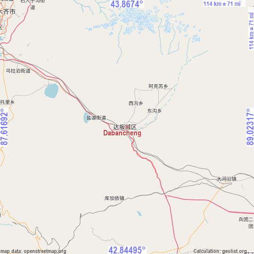
Dabancheng GPS coordinates[2]
43° 21' 29.988" North, 88° 19' 12.144" East
| Map corner | latitude | longitude |
|---|---|---|
| Upper-left | 43.8674°, | 87.61692° |
| Center: | 43.35833°, | 88.32004° |
| Lower-right: | 42.84495°, | 89.02317° |
| Map W x H: | 113.7×113.7 km | = 70.6×70.6mi |
| max Lat: | 53.31946° ⇑7.8% North |
| Dabancheng: | 43.35833° |
| min Lat: | ⇓92.2% South 18.22056° |
| min Long | Dabancheng | max Long |
| 75.07348° | 88.32004° | 134.28917° |
| W 2.2%⇐ | ⇒97.8% E |
Elevation
Elevation of Dabancheng is 1107 m = 3632 ft, and this is 622.2 m = 2041 ft above average elevation for this country.
| Max E: |
5622 m = 18445 ft | 13.1% |
| Dabancheng | 1107 m 3632 ft | |
| Avg. | 484.8 m = 1591 ft | |
Min E: |
-3 m = -10 ft | 86.9% |
See also: China elevation on elevation.city.
Geographical zone
Dabancheng is located in North temperate zone (between Tropic of Cancer and the Arctic Circle). Distance of this Northern Tropic circle is 2215.1 km =1376.4 mi to South.| Distance of | km | miles | from Dabancheng |
|---|---|---|---|
| North Pole | 5186.1 | 3222.5 | to North |
| Arctic Circle | 2580.2 | 1603.3 | to North |
| Tropic Cancer | 2215.1 | 1376.4 | to South |
| Equator | 4821 | 2995.6 | to South |


Nearby cities:
15 places around Dabancheng: (largest is in red/bold)
• Baiyanghe
86 km =53.4 mi,  328°
328°
• Beijinglu
79.9 km =49.6 mi,  311°
311°
• Diwopu
89.1 km =55.4 mi, 310°
• Ergong
81.7 km =50.8 mi, 312°
• Ewirgol
69.1 km =42.9 mi,  230°
230°
• Gumudi
84.3 km =52.4 mi,  321°
321°
• Jimsar
91.8 km =57 mi,  40°
40°
• Lucaogou
71.1 km =44.2 mi, 322°
• Shuimogou
75.8 km =47.1 mi, 313°
• Tiechanggou
75.6 km =47 mi, 325°
• Toksun
68 km =42.3 mi,  157°
157°
• Turpan
83.3 km =51.8 mi,  123°
123°
• Xingfulu
72.5 km =45 mi, 310°
• Yangzi Jianglu
74.8 km =46.5 mi, 308°
• Ürümqi
76 km =47.2 mi, 310°
Sources, notices
• [Note1] Compared only with cities in China existing in our database
• [Src1] Map data: © OpenStreetMap contributors (CC-BY-SA)
• [Src2] Other city data from geonames.org with taken over terms of usage.
• [Src3] Geographical zone / Annual Mean Temperature by Robert A. Rohde @ Wikipedia
