Bali geodata
Bali (Jiangsu) is a seat of a fourth-order administrative division; located in China in Asia/Shanghai (GMT+8) time zone. In our database, there are 1268 cities with bigger population. Compared to other cities in China, 62.9% of cities are located further ↓South; 78.2% of cities are located further ←West and 98.3% of cities have higher elevation than Bali. Note1


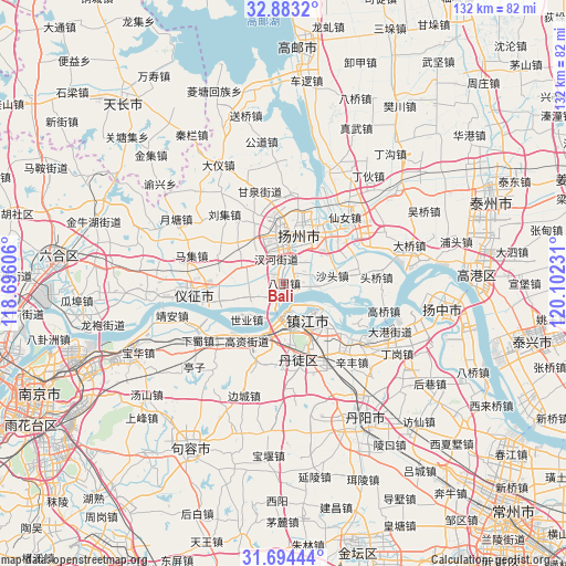
Bali GPS coordinates[2]
32° 17' 26.772" North, 119° 23' 57.048" East
| Map corner | latitude | longitude |
|---|---|---|
| Upper-left | 32.8832°, | 118.69606° |
| Center: | 32.29077°, | 119.39918° |
| Lower-right: | 31.69444°, | 120.10231° |
| Map W x H: | 132.2×132.2 km | = 82.1×82.1mi |
| max Lat: | 53.31946° ⇑37.1% North |
| Bali: | 32.29077° |
| min Lat: | ⇓62.9% South 18.22056° |
| min Long | Bali | max Long |
| 75.07348° | 119.39918° | 134.28917° |
| W 78.2%⇐ | ⇒21.8% E |
Elevation
Elevation of Bali is 4 m = 13 ft, and this is 480.8 m = 1577 ft below average elevation for this country.
| Max E: |
5622 m = 18445 ft | 98.3% |
| Avg. | 484.8 m = 1591 ft | |
| Bali | 4 m = 13 ft | |
Min E: |
-3 m = -10 ft | 1.7% |
See also: China elevation on elevation.city.
Geographical zone
Bali is located in North temperate zone (between Tropic of Cancer and the Arctic Circle). Distance of this Northern Tropic circle is 984.5 km =611.7 mi to South.| Distance of | km | miles | from Bali |
|---|---|---|---|
| North Pole | 6416.7 | 3987.2 | to North |
| Arctic Circle | 3810.8 | 2367.9 | to North |
| Tropic Cancer | 984.5 | 611.7 | to South |
| Equator | 3590.4 | 2231 | to South |


Nearby cities:
15 places around Bali: (largest is in red/bold)
• Chahe
5.6 km =3.5 mi,  342°
342°
• Guazhou
4.4 km =2.7 mi,  199°
199°
• Hanshang
9.7 km =6 mi,  356°
356°
• Jiangwang
8.7 km =5.4 mi, 341°
• Poxi
7.9 km =4.9 mi,  274°
274°
• Qilidian
12.1 km =7.5 mi,  179°
179°
• Shatou
11.7 km =7.3 mi,  80°
80°
• Shiqiao
5.8 km =3.6 mi,  65°
65°
• Shiye
12.4 km =7.7 mi,  226°
226°
• Tangwang
10.5 km =6.5 mi,  32°
32°
• Wenhe
11.9 km =7.4 mi,  12°
12°
• Xinji
10.8 km =6.7 mi,  292°
292°
• Yangzhou
12.3 km =7.6 mi,  16°
16°
• Zhengdonglu
12.8 km =8 mi,  148°
148°
• Zhenjiang
10.3 km =6.4 mi, 149°
Sources, notices
• [Note1] Compared only with cities in China existing in our database
• [Src1] Map data: © OpenStreetMap contributors (CC-BY-SA)
• [Src2] Other city data from geonames.org with taken over terms of usage.
• [Src3] Geographical zone / Annual Mean Temperature by Robert A. Rohde @ Wikipedia
