Winnemark geodata
Winnemark (Schleswig-Holstein) is a seat of a fourth-order administrative division; located in Germany in Europe/Berlin (GMT+2) time zone. With population of 507 people, there are 9347 cities with bigger population in this country. Compared to other cities in Germany, 98.6% of cities are located further ↓South; 51.3% of cities are located further →East and 97.6% of cities have higher elevation than Winnemark. Note1
Administrative division(s):
- Level 1: Schleswig-Holstein
- Level 3: Kreis Rendsburg-Eckernförde
- Level 4: Winnemark


Winnemark GPS coordinates[2]
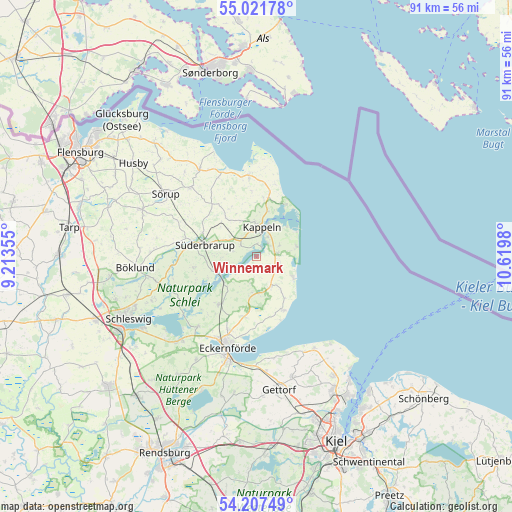
54° 37' 0.012" North, 9° 55' 0.012" East
| Map corner | latitude | longitude |
|---|---|---|
| Upper-left | 55.02178°, | 9.21355° |
| Center: | 54.61667°, | 9.91667° |
| Lower-right: | 54.20749°, | 10.6198° |
| Map W x H: | 90.5×90.5 km | = 56.2×56.2mi |
| max Lat: | 55.01917° ⇑1.4% North |
| Winnemark: | 54.61667° |
| min Lat: | ⇓98.6% South 47.40724° |
| min Long | Winnemark | max Long |
| 5.92978° | 9.91667° | 14.98853° |
| W 48.7%⇐ | ⇒51.3% E |
Elevation
Elevation of Winnemark is 3 m = 10 ft, and this is 246.1 m = 807 ft below average elevation for this country.
| Max E: |
1256 m = 4121 ft | 97.6% |
| Avg. | 249.1 m = 817 ft | |
| Winnemark | 3 m = 10 ft | |
Min E: |
-5 m = -16 ft | 2.4% |
See also: Germany elevation on elevation.city.
Geographical zone
Winnemark is located in North temperate zone (between Tropic of Cancer and the Arctic Circle). Distance of this North polar circle is 1328.4 km =825.4 mi to North.| Distance of | km | miles | from Winnemark |
|---|---|---|---|
| North Pole | 3934.3 | 2444.7 | to North |
| Arctic Circle | 1328.4 | 825.4 | to North |
| Tropic Cancer | 3466.9 | 2154.2 | to South |
| Equator | 6072.8 | 3773.5 | to South |


Nearby cities:
15 places around Winnemark: (largest is in red/bold)
• Boren
6.2 km =3.9 mi,  268°
268°
• Brodersby
4.7 km =2.9 mi,  66°
66°
• Damp
7.4 km =4.6 mi,  118°
118°
• Dollrottfeld
6.7 km =4.2 mi,  286°
286°
• Dörphof
3.2 km =2 mi,  90°
90°
• Grödersby
1.9 km =1.2 mi,  0°
0°
• Holzdorf
7.7 km =4.8 mi,  196°
196°
• Kappeln
5 km =3.1 mi,  10°
10°
• Karby
3.7 km =2.3 mi,  77°
77°
• Maasholm
8.6 km =5.3 mi,  30°
30°
• Oersberg
7 km =4.3 mi,  322°
322°
• Rabenkirchen-Faulück
4.7 km =2.9 mi, 293°
• Scheggerott
8.5 km =5.3 mi,  310°
310°
• Süderbrarup
8.8 km =5.5 mi,  282°
282°
• Thumby
3.7 km =2.3 mi,  180°
180°
Sources, notices
• [Note1] Compared only with cities in Germany existing in our database
• [Src1] Map data: © OpenStreetMap contributors (CC-BY-SA)
• [Src2] Other city data from geonames.org with taken over terms of usage.
• [Src3] Geographical zone / Annual Mean Temperature by Robert A. Rohde @ Wikipedia
