Treia geodata
Treia (Schleswig-Holstein) is a seat of a fourth-order administrative division; located in Germany in Europe/Berlin (GMT+2) time zone. With population of 1,514 people, there are 5852 cities with bigger population in this country. Compared to other cities in Germany, 98% of cities are located further ↓South; 60.6% of cities are located further →East and 91.6% of cities have higher elevation than Treia. Note1
Administrative division(s):
- Level 1: Schleswig-Holstein
- Level 3: Kreis Schleswig-Flensburg
- Level 4: Treia


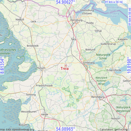
Treia GPS coordinates[2]
54° 30' 0" North, 9° 19' 0.012" East
| Map corner | latitude | longitude |
|---|---|---|
| Upper-left | 54.90627°, | 8.61354° |
| Center: | 54.5°, | 9.31667° |
| Lower-right: | 54.08965°, | 10.0198° |
| Map W x H: | 90.8×90.8 km | = 56.4×56.4mi |
| max Lat: | 55.01917° ⇑2% North |
| Treia: | 54.5° |
| min Lat: | ⇓98% South 47.40724° |
| min Long | Treia | max Long |
| 5.92978° | 9.31667° | 14.98853° |
| W 39.4%⇐ | ⇒60.6% E |
Elevation
Elevation of Treia is 17 m = 56 ft, and this is 232.1 m = 761 ft below average elevation for this country.
| Max E: |
1256 m = 4121 ft | 91.6% |
| Avg. | 249.1 m = 817 ft | |
| Treia | 17 m = 56 ft | |
Min E: |
-5 m = -16 ft | 8.4% |
See also: Germany elevation on elevation.city.
Geographical zone
Treia is located in North temperate zone (between Tropic of Cancer and the Arctic Circle). Distance of this North polar circle is 1341.3 km =833.4 mi to North.| Distance of | km | miles | from Treia |
|---|---|---|---|
| North Pole | 3947.2 | 2452.7 | to North |
| Arctic Circle | 1341.3 | 833.4 | to North |
| Tropic Cancer | 3453.9 | 2146.2 | to South |
| Equator | 6059.8 | 3765.4 | to South |


Nearby cities:
15 places around Treia: (largest is in red/bold)
• Ahrenviöl
7.9 km =4.9 mi,  296°
296°
• Behrendorf
9.8 km =6.1 mi,  318°
318°
• Bondelum
8.1 km =5 mi,  336°
336°
• Dörpstedt
8.1 km =5 mi,  156°
156°
• Ellingstedt
6.7 km =4.2 mi,  114°
114°
• Groß Rheide
10 km =6.2 mi,  130°
130°
• Hollingstedt
4.7 km =2.9 mi, 163°
• Jübek
8.2 km =5.1 mi,  39°
39°
• Ostenfeld
6.7 km =4.2 mi,  233°
233°
• Oster-Ohrstedt
6.3 km =3.9 mi,  285°
285°
• Silberstedt
4.7 km =2.9 mi,  66°
66°
• Sollerup
9.3 km =5.8 mi,  0°
0°
• Wester-Ohrstedt
8.5 km =5.3 mi,  275°
275°
• Westerholz
3 km =1.9 mi,  248°
248°
• Wittbek
8.4 km =5.2 mi,  243°
243°
Sources, notices
• [Note1] Compared only with cities in Germany existing in our database
• [Src1] Map data: © OpenStreetMap contributors (CC-BY-SA)
• [Src2] Other city data from geonames.org with taken over terms of usage.
• [Src3] Geographical zone / Annual Mean Temperature by Robert A. Rohde @ Wikipedia
