Stecklenberg geodata
Stecklenberg (Saxony-Anhalt) is a populated place; located in Germany in Europe/Berlin (GMT+2) time zone. With population of 634 people, there are 8623 cities with bigger population in this country. Compared to other cities in Germany, 69.2% of cities are located further ↓South; 68.3% of cities are located further ←West and 56.8% of cities have higher elevation than Stecklenberg. Note1


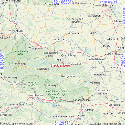
Stecklenberg GPS coordinates[2]
51° 43' 59.736" North, 11° 5' 15.036" East
| Map corner | latitude | longitude |
|---|---|---|
| Upper-left | 52.16663°, | 10.38439° |
| Center: | 51.73326°, | 11.08751° |
| Lower-right: | 51.2957°, | 11.79064° |
| Map W x H: | 96.8×96.8 km | = 60.1×60.1mi |
| max Lat: | 55.01917° ⇑30.8% North |
| Stecklenberg: | 51.73326° |
| min Lat: | ⇓69.2% South 47.40724° |
| min Long | Stecklenberg | max Long |
| 5.92978° | 11.08751° | 14.98853° |
| W 68.3%⇐ | ⇒31.7% E |
Elevation
Elevation of Stecklenberg is 176 m = 577 ft, and this is 73.1 m = 240 ft below average elevation for this country.
| Max E: |
1256 m = 4121 ft | 56.8% |
| Avg. | 249.1 m = 817 ft | |
| Stecklenberg | 176 m = 577 ft | |
Min E: |
-5 m = -16 ft | 43.2% |
See also: Germany elevation on elevation.city.
Geographical zone
Stecklenberg is located in North temperate zone (between Tropic of Cancer and the Arctic Circle). Distance of this North polar circle is 1649 km =1024.6 mi to North.| Distance of | km | miles | from Stecklenberg |
|---|---|---|---|
| North Pole | 4254.9 | 2643.9 | to North |
| Arctic Circle | 1649 | 1024.6 | to North |
| Tropic Cancer | 3146.3 | 1955 | to South |
| Equator | 5752.2 | 3574.3 | to South |


Nearby cities:
15 places around Stecklenberg: (largest is in red/bold)
• Allrode
10.2 km =6.3 mi,  233°
233°
• Bad Suderode
2 km =1.2 mi,  89°
89°
• Ballenstedt
10.1 km =6.3 mi,  99°
99°
• Cattenstedt
9.6 km =6 mi,  300°
300°
• Friedrichsbrunn
5.9 km =3.7 mi,  215°
215°
• Gernrode
3.6 km =2.2 mi, 103°
• Neinstedt
1.8 km =1.1 mi,  359°
359°
• Quedlinburg
7.5 km =4.7 mi,  35°
35°
• Rieder
5.5 km =3.4 mi, 89°
• Siptenfelde
10.2 km =6.3 mi,  194°
194°
• Thale
3.6 km =2.2 mi, 298°
• Timmenrode
7 km =4.3 mi,  306°
306°
• Weddersleben
3.6 km =2.2 mi, 357°
• Westerhausen
8.3 km =5.2 mi,  345°
345°
• Wienrode
8.7 km =5.4 mi,  294°
294°
Sources, notices
• [Note1] Compared only with cities in Germany existing in our database
• [Src1] Map data: © OpenStreetMap contributors (CC-BY-SA)
• [Src2] Other city data from geonames.org with taken over terms of usage.
• [Src3] Geographical zone / Annual Mean Temperature by Robert A. Rohde @ Wikipedia
