Stadtilm geodata
Stadtilm (Thuringia) is a populated place; located in Germany in Europe/Berlin (GMT+2) time zone. With population of 5,265 people, there are 2712 cities with bigger population in this country. Compared to other cities in Germany, 53.7% of cities are located further ↓South; 68.1% of cities are located further ←West and 70% of cities have lower elevation than Stadtilm. Note1


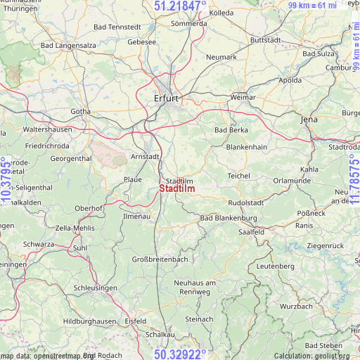
Stadtilm GPS coordinates[2]
50° 46' 33.456" North, 11° 4' 57.432" East
| Map corner | latitude | longitude |
|---|---|---|
| Upper-left | 51.21847°, | 10.3795° |
| Center: | 50.77596°, | 11.08262° |
| Lower-right: | 50.32922°, | 11.78575° |
| Map W x H: | 98.9×98.9 km | = 61.5×61.5mi |
| max Lat: | 55.01917° ⇑46.3% North |
| Stadtilm: | 50.77596° |
| min Lat: | ⇓53.7% South 47.40724° |
| min Long | Stadtilm | max Long |
| 5.92978° | 11.08262° | 14.98853° |
| W 68.1%⇐ | ⇒31.9% E |
Elevation
Elevation of Stadtilm is 358 m = 1175 ft, and this is 108.9 m = 357 ft above average elevation for this country.
| Max E: |
1256 m = 4121 ft | 30% |
| Stadtilm | 358 m 1175 ft | |
| Avg. | 249.1 m = 817 ft | |
Min E: |
-5 m = -16 ft | 70% |
See also: Germany elevation on elevation.city.
Geographical zone
Stadtilm is located in North temperate zone (between Tropic of Cancer and the Arctic Circle). Distance of this North polar circle is 1755.4 km =1090.8 mi to North.| Distance of | km | miles | from Stadtilm |
|---|---|---|---|
| North Pole | 4361.3 | 2710 | to North |
| Arctic Circle | 1755.4 | 1090.8 | to North |
| Tropic Cancer | 3039.8 | 1888.8 | to South |
| Equator | 5645.8 | 3508.1 | to South |


Nearby cities:
15 places around Stadtilm: (largest is in red/bold)
• Alkersleben
8.9 km =5.5 mi,  337°
337°
• Arnstadt
11.6 km =7.2 mi,  308°
308°
• Barchfeld
9 km =5.6 mi,  49°
49°
• Behringen
4.8 km =3 mi,  265°
265°
• Bösleben-Wüllersleben
6.5 km =4 mi,  350°
350°
• Dornheim
9.1 km =5.7 mi,  316°
316°
• Elleben
10.1 km =6.3 mi,  0°
0°
• Elxleben
10.3 km =6.4 mi, 347°
• Hohenfelden
12.7 km =7.9 mi,  25°
25°
• Kranichfeld
12 km =7.5 mi,  43°
43°
• Königsee
12.8 km =8 mi,  175°
175°
• Osthausen-Wülfershausen
8.2 km =5.1 mi, 0°
• Rittersdorf
11.5 km =7.1 mi,  66°
66°
• Rottenbach
11.4 km =7.1 mi,  148°
148°
• Witzleben
5.1 km =3.2 mi, 27°
Sources, notices
• [Note1] Compared only with cities in Germany existing in our database
• [Src1] Map data: © OpenStreetMap contributors (CC-BY-SA)
• [Src2] Other city data from geonames.org with taken over terms of usage.
• [Src3] Geographical zone / Annual Mean Temperature by Robert A. Rohde @ Wikipedia
