Königsee geodata
Königsee (Thuringia) is a populated place; located in Germany in Europe/Berlin (GMT+2) time zone. With population of 5,666 people, there are 2577 cities with bigger population in this country. Compared to other cities in Germany, 51% of cities are located further ↓South; 68.4% of cities are located further ←West and 72% of cities have lower elevation than Königsee. Note1
Administrative division(s):
- Level 1: Thuringia
- Level 3: Saalfeld-Rudolstadt
- Level 4: Königsee-Rottenbach


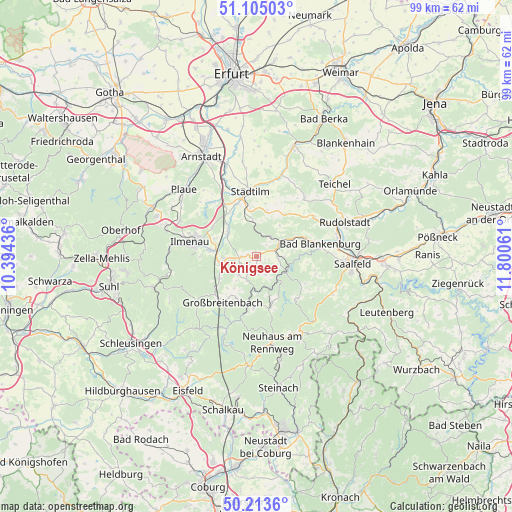
Königsee GPS coordinates[2]
50° 39' 41.148" North, 11° 5' 50.928" East
| Map corner | latitude | longitude |
|---|---|---|
| Upper-left | 51.10503°, | 10.39436° |
| Center: | 50.66143°, | 11.09748° |
| Lower-right: | 50.2136°, | 11.80061° |
| Map W x H: | 99.1×99.1 km | = 61.6×61.6mi |
| max Lat: | 55.01917° ⇑49% North |
| Königsee: | 50.66143° |
| min Lat: | ⇓51% South 47.40724° |
| min Long | Königsee | max Long |
| 5.92978° | 11.09748° | 14.98853° |
| W 68.4%⇐ | ⇒31.6% E |
Elevation
Elevation of Königsee is 374 m = 1227 ft, and this is 124.9 m = 410 ft above average elevation for this country.
| Max E: |
1256 m = 4121 ft | 28% |
| Königsee | 374 m 1227 ft | |
| Avg. | 249.1 m = 817 ft | |
Min E: |
-5 m = -16 ft | 72% |
See also: Germany elevation on elevation.city.
Geographical zone
Königsee is located in North temperate zone (between Tropic of Cancer and the Arctic Circle). Distance of this North polar circle is 1768.2 km =1098.7 mi to North.| Distance of | km | miles | from Königsee |
|---|---|---|---|
| North Pole | 4374 | 2717.9 | to North |
| Arctic Circle | 1768.2 | 1098.7 | to North |
| Tropic Cancer | 3027.1 | 1881 | to South |
| Equator | 5633 | 3500.2 | to South |


Nearby cities:
15 places around Königsee: (largest is in red/bold)
• Allendorf
4.3 km =2.7 mi,  99°
99°
• Bechstedt
4.9 km =3 mi,  83°
83°
• Dröbischau
3.9 km =2.4 mi,  206°
206°
• Friedersdorf
7.6 km =4.7 mi, 214°
• Gehren
6.7 km =4.2 mi,  257°
257°
• Gillersdorf
7.6 km =4.7 mi,  228°
228°
• Herschdorf
4.9 km =3 mi,  223°
223°
• Mellenbach-Glasbach
5 km =3.1 mi,  177°
177°
• Oberhain
4 km =2.5 mi,  141°
141°
• Pennewitz
3.1 km =1.9 mi,  265°
265°
• Rottenbach
5.7 km =3.5 mi,  58°
58°
• Schwarzburg
7 km =4.3 mi,  107°
107°
• Sitzendorf
6.2 km =3.9 mi,  122°
122°
• Unterweißbach
7.2 km =4.5 mi, 136°
• Wildenspring
7.2 km =4.5 mi,  197°
197°
Sources, notices
• [Note1] Compared only with cities in Germany existing in our database
• [Src1] Map data: © OpenStreetMap contributors (CC-BY-SA)
• [Src2] Other city data from geonames.org with taken over terms of usage.
• [Src3] Geographical zone / Annual Mean Temperature by Robert A. Rohde @ Wikipedia
