Rott geodata
Rott (Rheinland-Pfalz) is a seat of a fourth-order administrative division; located in Germany in Europe/Berlin (GMT+2) time zone. In our database, there are 11009 cities with bigger population. Compared to other cities in Germany, 50.3% of cities are located further ↓South; 86.8% of cities are located further →East and 54.9% of cities have lower elevation than Rott. Note1


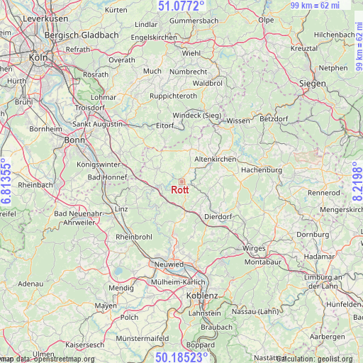
Rott GPS coordinates[2]
50° 37' 59.988" North, 7° 31' 0.012" East
| Map corner | latitude | longitude |
|---|---|---|
| Upper-left | 51.0772°, | 6.81355° |
| Center: | 50.63333°, | 7.51667° |
| Lower-right: | 50.18523°, | 8.2198° |
| Map W x H: | 99.2×99.2 km | = 61.6×61.6mi |
| max Lat: | 55.01917° ⇑49.7% North |
| Rott: | 50.63333° |
| min Lat: | ⇓50.3% South 47.40724° |
| min Long | Rott | max Long |
| 5.92978° | 7.51667° | 14.98853° |
| W 13.2%⇐ | ⇒86.8% E |
Elevation
Elevation of Rott is 257 m = 843 ft, and this is 7.9 m = 26 ft above average elevation for this country.
| Max E: |
1256 m = 4121 ft | 45.1% |
| Rott | 257 m 843 ft | |
| Avg. | 249.1 m = 817 ft | |
Min E: |
-5 m = -16 ft | 54.9% |
See also: Germany elevation on elevation.city.
Geographical zone
Rott is located in North temperate zone (between Tropic of Cancer and the Arctic Circle). Distance of this North polar circle is 1771.3 km =1100.6 mi to North.| Distance of | km | miles | from Rott |
|---|---|---|---|
| North Pole | 4377.2 | 2719.9 | to North |
| Arctic Circle | 1771.3 | 1100.6 | to North |
| Tropic Cancer | 3024 | 1879 | to South |
| Equator | 5629.9 | 3498.3 | to South |


Nearby cities:
15 places around Rott: (largest is in red/bold)
• Burglahr
2.2 km =1.4 mi,  218°
218°
• Bürdenbach
3.2 km =2 mi,  180°
180°
• Döttesfeld
2.5 km =1.6 mi,  116°
116°
• Eichen
1.2 km =0.7 mi,  90°
90°
• Eulenberg
4.2 km =2.6 mi, 223°
• Flammersfeld
1.7 km =1.1 mi,  25°
25°
• Güllesheim
4 km =2.5 mi,  168°
168°
• Kescheid
4.4 km =2.7 mi,  327°
327°
• Niedersteinebach
3.7 km =2.3 mi,  190°
190°
• Oberlahr
1.1 km =0.7 mi, 179°
• Orfgen
3.9 km =2.4 mi,  17°
17°
• Peterslahr
4 km =2.5 mi,  242°
242°
• Pleckhausen
4.6 km =2.9 mi,  157°
157°
• Reiferscheid
3 km =1.9 mi,  51°
51°
• Schürdt
4.4 km =2.7 mi, 32°
Sources, notices
• [Note1] Compared only with cities in Germany existing in our database
• [Src1] Map data: © OpenStreetMap contributors (CC-BY-SA)
• [Src2] Other city data from geonames.org with taken over terms of usage.
• [Src3] Geographical zone / Annual Mean Temperature by Robert A. Rohde @ Wikipedia
