Murchin geodata
Murchin (Mecklenburg-Vorpommern) is a populated place; located in Germany in Europe/Berlin (GMT+2) time zone. With population of 930 people, there are 7421 cities with bigger population in this country. Compared to other cities in Germany, 91.4% of cities are located further ↓South; 97% of cities are located further ←West and 90.1% of cities have higher elevation than Murchin. Note1
Administrative division(s):
- Level 1: Mecklenburg-Vorpommern
- Level 3: Vorpommern-Greifswald
- Level 4: Murchin


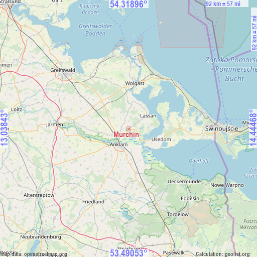
Murchin GPS coordinates[2]
53° 54' 24.48" North, 13° 44' 29.58" East
| Map corner | latitude | longitude |
|---|---|---|
| Upper-left | 54.31896°, | 13.03843° |
| Center: | 53.9068°, | 13.74155° |
| Lower-right: | 53.49053°, | 14.44468° |
| Map W x H: | 92.1×92.1 km | = 57.2×57.2mi |
| max Lat: | 55.01917° ⇑8.6% North |
| Murchin: | 53.9068° |
| min Lat: | ⇓91.4% South 47.40724° |
| min Long | Murchin | max Long |
| 5.92978° | 13.74155° | 14.98853° |
| W 97%⇐ | ⇒3% E |
Elevation
Elevation of Murchin is 21 m = 69 ft, and this is 228.1 m = 748 ft below average elevation for this country.
| Max E: |
1256 m = 4121 ft | 90.1% |
| Avg. | 249.1 m = 817 ft | |
| Murchin | 21 m = 69 ft | |
Min E: |
-5 m = -16 ft | 9.9% |
See also: Germany elevation on elevation.city.
Geographical zone
Murchin is located in North temperate zone (between Tropic of Cancer and the Arctic Circle). Distance of this North polar circle is 1407.3 km =874.5 mi to North.| Distance of | km | miles | from Murchin |
|---|---|---|---|
| North Pole | 4013.2 | 2493.7 | to North |
| Arctic Circle | 1407.3 | 874.5 | to North |
| Tropic Cancer | 3388 | 2105.2 | to South |
| Equator | 5993.9 | 3724.4 | to South |


Nearby cities:
15 places around Murchin: (largest is in red/bold)
• Alt-Sanitz
14.5 km =9 mi,  224°
224°
• Anklam
6.6 km =4.1 mi,  211°
211°
• Ducherow
16.1 km =10 mi,  170°
170°
• Groß Polzin
9.8 km =6.1 mi,  261°
261°
• Hohendorf
13.6 km =8.5 mi,  357°
357°
• Katzow
16.2 km =10.1 mi,  344°
344°
• Klein Bünzow
7.6 km =4.7 mi,  289°
289°
• Lassan
8.6 km =5.3 mi,  57°
57°
• Lühmannsdorf
13.3 km =8.3 mi,  328°
328°
• Neu Kosenow
12.6 km =7.8 mi,  176°
176°
• Rankwitz
12.9 km =8 mi,  70°
70°
• Rubkow
3.4 km =2.1 mi, 338°
• Usedom
12.5 km =7.8 mi,  106°
106°
• Zemitz
8 km =5 mi,  6°
6°
• Züssow
14.9 km =9.3 mi,  301°
301°
Sources, notices
• [Note1] Compared only with cities in Germany existing in our database
• [Src1] Map data: © OpenStreetMap contributors (CC-BY-SA)
• [Src2] Other city data from geonames.org with taken over terms of usage.
• [Src3] Geographical zone / Annual Mean Temperature by Robert A. Rohde @ Wikipedia
