Herchweiler geodata
Herchweiler (Rheinland-Pfalz) is a seat of a fourth-order administrative division; located in Germany in Europe/Berlin (GMT+2) time zone. With population of 517 people, there are 9276 cities with bigger population in this country. Compared to other cities in Germany, 75.4% of cities are located further ↑North; 90.1% of cities are located further →East and 68.1% of cities have lower elevation than Herchweiler. Note1


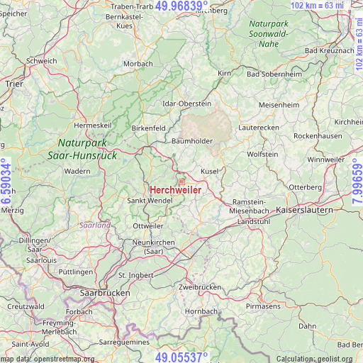
Herchweiler GPS coordinates[2]
49° 30' 50.436" North, 7° 17' 36.456" East
| Map corner | latitude | longitude |
|---|---|---|
| Upper-left | 49.96839°, | 6.59034° |
| Center: | 49.51401°, | 7.29346° |
| Lower-right: | 49.05537°, | 7.99659° |
| Map W x H: | 101.5×101.5 km | = 63.1×63.1mi |
| max Lat: | 55.01917° ⇑75.4% North |
| Herchweiler: | 49.51401° |
| min Lat: | ⇓24.6% South 47.40724° |
| min Long | Herchweiler | max Long |
| 5.92978° | 7.29346° | 14.98853° |
| W 9.9%⇐ | ⇒90.1% E |
Elevation
Elevation of Herchweiler is 343 m = 1125 ft, and this is 93.9 m = 308 ft above average elevation for this country.
| Max E: |
1256 m = 4121 ft | 31.9% |
| Herchweiler | 343 m 1125 ft | |
| Avg. | 249.1 m = 817 ft | |
Min E: |
-5 m = -16 ft | 68.1% |
See also: Germany elevation on elevation.city.
Geographical zone
Herchweiler is located in North temperate zone (between Tropic of Cancer and the Arctic Circle). Distance of this North polar circle is 1895.7 km =1177.9 mi to North.| Distance of | km | miles | from Herchweiler |
|---|---|---|---|
| North Pole | 4501.6 | 2797.2 | to North |
| Arctic Circle | 1895.7 | 1177.9 | to North |
| Tropic Cancer | 2899.5 | 1801.7 | to South |
| Equator | 5505.4 | 3420.9 | to South |


Nearby cities:
15 places around Herchweiler: (largest is in red/bold)
• Albessen
2.9 km =1.8 mi,  84°
84°
• Eckersweiler
5.9 km =3.7 mi,  352°
352°
• Ehweiler
5.3 km =3.3 mi,  86°
86°
• Freisen
5.1 km =3.2 mi,  321°
321°
• Frohnhofen
6.7 km =4.2 mi,  176°
176°
• Herschweiler-Pettersheim
5.3 km =3.3 mi,  129°
129°
• Hüffler
6.7 km =4.2 mi,  103°
103°
• Konken
4.4 km =2.7 mi, 97°
• Krottelbach
6 km =3.7 mi,  151°
151°
• Langenbach
3.4 km =2.1 mi, 132°
• Pfeffelbach
3.8 km =2.4 mi,  41°
41°
• Reichweiler
2.3 km =1.4 mi,  341°
341°
• Ruthweiler
6.6 km =4.1 mi,  52°
52°
• Selchenbach
1.6 km =1 mi,  163°
163°
• Thallichtenberg
6.4 km =4 mi, 40°
Sources, notices
• [Note1] Compared only with cities in Germany existing in our database
• [Src1] Map data: © OpenStreetMap contributors (CC-BY-SA)
• [Src2] Other city data from geonames.org with taken over terms of usage.
• [Src3] Geographical zone / Annual Mean Temperature by Robert A. Rohde @ Wikipedia
