Günstedt geodata
Günstedt (Thuringia) is a seat of a fourth-order administrative division; located in Germany in Europe/Berlin (GMT+2) time zone. With population of 823 people, there are 7815 cities with bigger population in this country. Compared to other cities in Germany, 61.9% of cities are located further ↓South; 68.1% of cities are located further ←West and 61.5% of cities have higher elevation than Günstedt. Note1


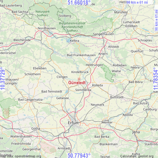
Günstedt GPS coordinates[2]
51° 13' 18.876" North, 11° 4' 49.476" East
| Map corner | latitude | longitude |
|---|---|---|
| Upper-left | 51.66018°, | 10.37729° |
| Center: | 51.22191°, | 11.08041° |
| Lower-right: | 50.77943°, | 11.78354° |
| Map W x H: | 97.9×97.9 km | = 60.8×60.8mi |
| max Lat: | 55.01917° ⇑38.1% North |
| Günstedt: | 51.22191° |
| min Lat: | ⇓61.9% South 47.40724° |
| min Long | Günstedt | max Long |
| 5.92978° | 11.08041° | 14.98853° |
| W 68.1%⇐ | ⇒31.9% E |
Elevation
Elevation of Günstedt is 142 m = 466 ft, and this is 107.1 m = 351 ft below average elevation for this country.
| Max E: |
1256 m = 4121 ft | 61.5% |
| Avg. | 249.1 m = 817 ft | |
| Günstedt | 142 m = 466 ft | |
Min E: |
-5 m = -16 ft | 38.5% |
See also: Germany elevation on elevation.city.
Geographical zone
Günstedt is located in North temperate zone (between Tropic of Cancer and the Arctic Circle). Distance of this North polar circle is 1705.8 km =1059.9 mi to North.| Distance of | km | miles | from Günstedt |
|---|---|---|---|
| North Pole | 4311.7 | 2679.2 | to North |
| Arctic Circle | 1705.8 | 1059.9 | to North |
| Tropic Cancer | 3089.4 | 1919.7 | to South |
| Equator | 5695.3 | 3538.9 | to South |


Nearby cities:
15 places around Günstedt: (largest is in red/bold)
• Bilzingsleben
6.9 km =4.3 mi,  352°
352°
• Büchel
5.8 km =3.6 mi,  57°
57°
• Etzleben
7.8 km =4.8 mi,  50°
50°
• Frömmstedt
5.2 km =3.2 mi,  327°
327°
• Griefstedt
3.5 km =2.2 mi,  75°
75°
• Herrnschwende
5.6 km =3.5 mi,  264°
264°
• Kannawurf
6.2 km =3.9 mi,  36°
36°
• Kindelbrück
4.5 km =2.8 mi,  8°
8°
• Niederbösa
7.5 km =4.7 mi,  311°
311°
• Oberbösa
8.7 km =5.4 mi, 329°
• Riethgen
4 km =2.5 mi, 38°
• Schillingstedt
8.4 km =5.2 mi, 81°
• Sömmerda
7.4 km =4.6 mi,  160°
160°
• Weißensee
2.6 km =1.6 mi,  197°
197°
• Wundersleben
8 km =5 mi, 201°
Sources, notices
• [Note1] Compared only with cities in Germany existing in our database
• [Src1] Map data: © OpenStreetMap contributors (CC-BY-SA)
• [Src2] Other city data from geonames.org with taken over terms of usage.
• [Src3] Geographical zone / Annual Mean Temperature by Robert A. Rohde @ Wikipedia
