Böbing geodata
Böbing (Bavaria) is a seat of a fourth-order administrative division; located in Germany in Europe/Berlin (GMT+2) time zone. With population of 1,694 people, there are 5522 cities with bigger population in this country. Compared to other cities in Germany, 98.2% of cities are located further ↑North; 66.9% of cities are located further ←West and 98.6% of cities have lower elevation than Böbing. Note1
Administrative division(s):
- Level 1: Bavaria
- Level 2: Upper Bavaria
- Level 3: Landkreis Weilheim-Schongau
- Level 4: Böbing


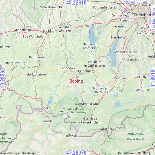
Böbing GPS coordinates[2]
47° 45' 20.232" North, 10° 59' 19.572" East
| Map corner | latitude | longitude |
|---|---|---|
| Upper-left | 48.22618°, | 10.28565° |
| Center: | 47.75562°, | 10.98877° |
| Lower-right: | 47.28076°, | 11.6919° |
| Map W x H: | 105.1×105.1 km | = 65.3×65.3mi |
| max Lat: | 55.01917° ⇑98.2% North |
| Böbing: | 47.75562° |
| min Lat: | ⇓1.8% South 47.40724° |
| min Long | Böbing | max Long |
| 5.92978° | 10.98877° | 14.98853° |
| W 66.9%⇐ | ⇒33.1% E |
Elevation
Elevation of Böbing is 742 m = 2434 ft, and this is 492.9 m = 1617 ft above average elevation for this country.
| Max E: |
1256 m = 4121 ft | 1.4% |
| Böbing | 742 m 2434 ft | |
| Avg. | 249.1 m = 817 ft | |
Min E: |
-5 m = -16 ft | 98.6% |
See also: Germany elevation on elevation.city.
Geographical zone
Böbing is located in North temperate zone (between Tropic of Cancer and the Arctic Circle). Distance of this North polar circle is 2091.2 km =1299.4 mi to North.| Distance of | km | miles | from Böbing |
|---|---|---|---|
| North Pole | 4697.1 | 2918.6 | to North |
| Arctic Circle | 2091.2 | 1299.4 | to North |
| Tropic Cancer | 2704 | 1680.2 | to South |
| Equator | 5309.9 | 3299.4 | to South |


Nearby cities:
15 places around Böbing: (largest is in red/bold)
• Altenstadt
11.4 km =7.1 mi,  311°
311°
• Bad Kohlgrub
10.9 km =6.8 mi,  155°
155°
• Burggen
13 km =8.1 mi,  280°
280°
• Hohenfurch
12.4 km =7.7 mi,  327°
327°
• Hohenpeißenberg
5 km =3.1 mi,  9°
9°
• Oberhausen
11.2 km =7 mi,  74°
74°
• Peiting
6.3 km =3.9 mi,  315°
315°
• Peißenberg
8.2 km =5.1 mi,  48°
48°
• Polling
12.4 km =7.7 mi,  60°
60°
• Rottenbuch
3 km =1.9 mi,  213°
213°
• Saulgrub
10.3 km =6.4 mi, 164°
• Schongau
9.3 km =5.8 mi, 312°
• Steingaden
11 km =6.8 mi,  235°
235°
• Uffing
12.9 km =8 mi,  111°
111°
• Wildsteig
7.1 km =4.4 mi, 212°
Sources, notices
• [Note1] Compared only with cities in Germany existing in our database
• [Src1] Map data: © OpenStreetMap contributors (CC-BY-SA)
• [Src2] Other city data from geonames.org with taken over terms of usage.
• [Src3] Geographical zone / Annual Mean Temperature by Robert A. Rohde @ Wikipedia
