Appen geodata
Appen (Schleswig-Holstein) is a seat of a fourth-order administrative division; located in Germany in Europe/Berlin (GMT+2) time zone. With population of 5,838 people, there are 2514 cities with bigger population in this country. Compared to other cities in Germany, 87.9% of cities are located further ↓South; 53.6% of cities are located further →East and 97.6% of cities have higher elevation than Appen. Note1


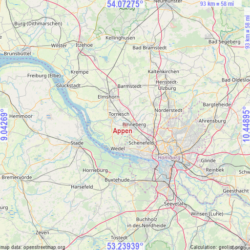
Appen GPS coordinates[2]
53° 39' 29.268" North, 9° 44' 44.952" East
| Map corner | latitude | longitude |
|---|---|---|
| Upper-left | 54.07275°, | 9.04269° |
| Center: | 53.65813°, | 9.74582° |
| Lower-right: | 53.23939°, | 10.44895° |
| Map W x H: | 92.7×92.7 km | = 57.6×57.6mi |
| max Lat: | 55.01917° ⇑12.1% North |
| Appen: | 53.65813° |
| min Lat: | ⇓87.9% South 47.40724° |
| min Long | Appen | max Long |
| 5.92978° | 9.74582° | 14.98853° |
| W 46.4%⇐ | ⇒53.6% E |
Elevation
Elevation of Appen is 3 m = 10 ft, and this is 246.1 m = 807 ft below average elevation for this country.
| Max E: |
1256 m = 4121 ft | 97.6% |
| Avg. | 249.1 m = 817 ft | |
| Appen | 3 m = 10 ft | |
Min E: |
-5 m = -16 ft | 2.4% |
See also: Germany elevation on elevation.city.
Geographical zone
Appen is located in North temperate zone (between Tropic of Cancer and the Arctic Circle). Distance of this North polar circle is 1434.9 km =891.6 mi to North.| Distance of | km | miles | from Appen |
|---|---|---|---|
| North Pole | 4040.8 | 2510.8 | to North |
| Arctic Circle | 1434.9 | 891.6 | to North |
| Tropic Cancer | 3360.3 | 2088 | to South |
| Equator | 5966.2 | 3707.2 | to South |


Nearby cities:
15 places around Appen: (largest is in red/bold)
• Borstel-Hohenraden
5.4 km =3.4 mi,  59°
59°
• Ellerhoop
7.7 km =4.8 mi,  11°
11°
• Groß Nordende
7.8 km =4.8 mi,  306°
306°
• Halstenbek
7.4 km =4.6 mi,  111°
111°
• Heidgraben
7 km =4.3 mi,  322°
322°
• Heist
6.4 km =4 mi,  261°
261°
• Holm
7 km =4.3 mi,  228°
228°
• Kummerfeld
4.9 km =3 mi,  37°
37°
• Moorrege
5.3 km =3.3 mi,  280°
280°
• Pinneberg
3 km =1.9 mi,  70°
70°
• Prisdorf
2.8 km =1.7 mi, 5°
• Rellingen
4.8 km =3 mi,  100°
100°
• Tangstedt
7.1 km =4.4 mi, 72°
• Tornesch
5 km =3.1 mi,  337°
337°
• Uetersen
6.3 km =3.9 mi,  301°
301°
Sources, notices
• [Note1] Compared only with cities in Germany existing in our database
• [Src1] Map data: © OpenStreetMap contributors (CC-BY-SA)
• [Src2] Other city data from geonames.org with taken over terms of usage.
• [Src3] Geographical zone / Annual Mean Temperature by Robert A. Rohde @ Wikipedia
