Rellingen geodata
Rellingen (Schleswig-Holstein) is a seat of a fourth-order administrative division; located in Germany in Europe/Berlin (GMT+2) time zone. With population of 13,707 people, there are 1170 cities with bigger population in this country. Compared to other cities in Germany, 87.7% of cities are located further ↓South; 52.6% of cities are located further →East and 96.2% of cities have higher elevation than Rellingen. Note1


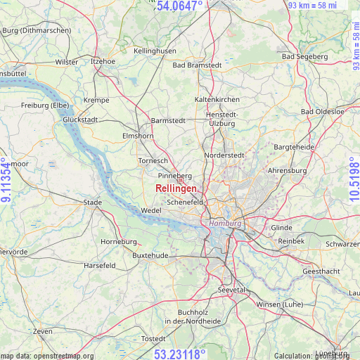
Rellingen GPS coordinates[2]
53° 39' 0" North, 9° 49' 0.012" East
| Map corner | latitude | longitude |
|---|---|---|
| Upper-left | 54.0647°, | 9.11354° |
| Center: | 53.65°, | 9.81667° |
| Lower-right: | 53.23118°, | 10.5198° |
| Map W x H: | 92.7×92.7 km | = 57.6×57.6mi |
| max Lat: | 55.01917° ⇑12.3% North |
| Rellingen: | 53.65° |
| min Lat: | ⇓87.7% South 47.40724° |
| min Long | Rellingen | max Long |
| 5.92978° | 9.81667° | 14.98853° |
| W 47.4%⇐ | ⇒52.6% E |
Elevation
Elevation of Rellingen is 6 m = 20 ft, and this is 243.1 m = 798 ft below average elevation for this country.
| Max E: |
1256 m = 4121 ft | 96.2% |
| Avg. | 249.1 m = 817 ft | |
| Rellingen | 6 m = 20 ft | |
Min E: |
-5 m = -16 ft | 3.8% |
See also: Germany elevation on elevation.city.
Geographical zone
Rellingen is located in North temperate zone (between Tropic of Cancer and the Arctic Circle). Distance of this North polar circle is 1435.9 km =892.2 mi to North.| Distance of | km | miles | from Rellingen |
|---|---|---|---|
| North Pole | 4041.7 | 2511.4 | to North |
| Arctic Circle | 1435.9 | 892.2 | to North |
| Tropic Cancer | 3359.4 | 2087.4 | to South |
| Equator | 5965.3 | 3706.7 | to South |


Nearby cities:
15 places around Rellingen: (largest is in red/bold)
• Appen
4.8 km =3 mi,  280°
280°
• Borstel-Hohenraden
3.7 km =2.3 mi,  0°
0°
• Bönningstedt
6.8 km =4.2 mi,  74°
74°
• Eidelstedt
7.6 km =4.7 mi,  129°
129°
• Ellerbek
3.6 km =2.2 mi,  75°
75°
• Ellerhoop
9 km =5.6 mi,  339°
339°
• Halstenbek
2.9 km =1.8 mi, 130°
• Hasloh
8.3 km =5.2 mi,  52°
52°
• Kummerfeld
5 km =3.1 mi, 340°
• Lurup
7.5 km =4.7 mi,  148°
148°
• Pinneberg
2.6 km =1.6 mi,  316°
316°
• Prisdorf
5.7 km =3.5 mi,  310°
310°
• Stellingen
9.8 km =6.1 mi, 131°
• Tangstedt
3.7 km =2.3 mi,  35°
35°
• Tornesch
8.6 km =5.3 mi, 310°
Sources, notices
• [Note1] Compared only with cities in Germany existing in our database
• [Src1] Map data: © OpenStreetMap contributors (CC-BY-SA)
• [Src2] Other city data from geonames.org with taken over terms of usage.
• [Src3] Geographical zone / Annual Mean Temperature by Robert A. Rohde @ Wikipedia
