Mustla geodata
Mustla (Pärnumaa) is a populated place; located in Estonia in Europe/Tallinn (GMT+3) time zone. With population of 928 people, there are 99 cities with bigger population in this country. Compared to other cities in Estonia, 86.8% of cities are located further ↑North; 57.9% of cities are located further →East and 60.5% of cities have lower elevation than Mustla. Note1


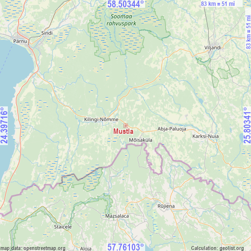
Mustla GPS coordinates[2]
58° 8' 3.012" North, 25° 6' 1.008" East
| Map corner | latitude | longitude |
|---|---|---|
| Upper-left | 58.50344°, | 24.39716° |
| Center: | 58.13417°, | 25.10028° |
| Lower-right: | 57.76103°, | 25.80341° |
| Map W x H: | 82.5×82.5 km | = 51.3×51.3mi |
| max Lat: | 59.57639° ⇑86.8% North |
| Mustla: | 58.13417° |
| min Lat: | ⇓13.2% South 57.72778° |
| min Long | Mustla | max Long |
| 22.24646° | 25.10028° | 28.19028° |
| W 42.1%⇐ | ⇒57.9% E |
Elevation
Elevation of Mustla is 61 m = 200 ft, and this is 7.8 m = 26 ft above average elevation for this country.
| Max E: |
141 m = 463 ft | 39.5% |
| Mustla | 61 m 200 ft | |
| Avg. | 53.2 m = 175 ft | |
Min E: |
6 m = 20 ft | 60.5% |
See also: Estonia elevation on elevation.city.
Geographical zone
Mustla is located in North temperate zone (between Tropic of Cancer and the Arctic Circle). Distance of this North polar circle is 937.3 km =582.4 mi to North.| Distance of | km | miles | from Mustla |
|---|---|---|---|
| North Pole | 3543.1 | 2201.6 | to North |
| Arctic Circle | 937.3 | 582.4 | to North |
| Tropic Cancer | 3858 | 2397.2 | to South |
| Equator | 6463.9 | 4016.5 | to South |


Nearby cities:
15 places around Mustla: (largest is in red/bold)
• Abja-Paluoja
14.7 km =9.1 mi,  93°
93°
• Häädemeeste
35.9 km =22.3 mi,  260°
260°
• Karksi
28.7 km =17.8 mi, 93°
• Karksi-Nuia
27.4 km =17 mi,  97°
97°
• Kilingi-Nõmme
8.2 km =5.1 mi,  282°
282°
• Mõisaküla
6.9 km =4.3 mi,  132°
132°
• Paikuse
38.5 km =23.9 mi,  314°
314°
• Ramsi
31.8 km =19.8 mi,  53°
53°
• Sindi
39 km =24.2 mi,  319°
319°
• Tihemetsa
3.5 km =2.2 mi,  290°
290°
• Tori
41.6 km =25.8 mi,  337°
337°
• Uulu
34.3 km =21.3 mi,  298°
298°
• Vana-Võidu
43.2 km =26.8 mi, 48°
• Viiratsi
40.2 km =25 mi, 51°
• Viljandi
38.4 km =23.9 mi, 48°
Sources, notices
• [Note1] Compared only with cities in Estonia existing in our database
• [Src1] Map data: © OpenStreetMap contributors (CC-BY-SA)
• [Src2] Other city data from geonames.org with taken over terms of usage.
• [Src3] Geographical zone / Annual Mean Temperature by Robert A. Rohde @ Wikipedia
