Uulu geodata
Uulu (Pärnumaa) is a seat of a second-order administrative division; located in Estonia in Europe/Tallinn (GMT+3) time zone. With population of 524 people, there are 167 cities with bigger population in this country. Compared to other cities in Estonia, 78.9% of cities are located further ↑North; 77.4% of cities are located further →East and 81.1% of cities have higher elevation than Uulu. Note1


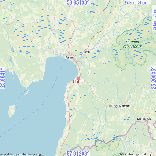
Uulu GPS coordinates[2]
58° 17' 0.996" North, 24° 35' 13.992" East
| Map corner | latitude | longitude |
|---|---|---|
| Upper-left | 58.65133°, | 23.8841° |
| Center: | 58.28361°, | 24.58722° |
| Lower-right: | 57.91203°, | 25.29035° |
| Map W x H: | 82.2×82.2 km | = 51.1×51.1mi |
| max Lat: | 59.57639° ⇑78.9% North |
| Uulu: | 58.28361° |
| min Lat: | ⇓21.1% South 57.72778° |
| min Long | Uulu | max Long |
| 22.24646° | 24.58722° | 28.19028° |
| W 22.6%⇐ | ⇒77.4% E |
Elevation
Elevation of Uulu is 22 m = 72 ft, and this is 31.2 m = 102 ft below average elevation for this country.
| Max E: |
141 m = 463 ft | 81.1% |
| Avg. | 53.2 m = 175 ft | |
| Uulu | 22 m = 72 ft | |
Min E: |
6 m = 20 ft | 18.9% |
See also: Estonia elevation on elevation.city.
Geographical zone
Uulu is located in North temperate zone (between Tropic of Cancer and the Arctic Circle). Distance of this North polar circle is 920.6 km =572 mi to North.| Distance of | km | miles | from Uulu |
|---|---|---|---|
| North Pole | 3526.5 | 2191.3 | to North |
| Arctic Circle | 920.6 | 572 | to North |
| Tropic Cancer | 3874.6 | 2407.6 | to South |
| Equator | 6480.5 | 4026.8 | to South |


Nearby cities:
15 places around Uulu: (largest is in red/bold)
• Audru
18.7 km =11.6 mi,  318°
318°
• Häädemeeste
23.1 km =14.4 mi,  193°
193°
• Kilingi-Nõmme
26.6 km =16.5 mi,  123°
123°
• Lavassaare
27.8 km =17.3 mi,  335°
335°
• Mustla
34.3 km =21.3 mi, 118°
• Paikuse
11 km =6.8 mi,  14°
14°
• Pärnu
12.5 km =7.8 mi, 335°
• Pärnu-Jaagupi
36.6 km =22.7 mi,  352°
352°
• Sauga
16.8 km =10.4 mi, 341°
• Sindi
13.8 km =8.6 mi,  19°
19°
• Tihemetsa
30.9 km =19.2 mi, 119°
• Tootsi
34.9 km =21.7 mi, 20°
• Tori
25.7 km =16 mi,  32°
32°
• Tõstamaa
34.7 km =21.6 mi,  279°
279°
• Võiste
21.2 km =13.2 mi, 343°
Sources, notices
• [Note1] Compared only with cities in Estonia existing in our database
• [Src1] Map data: © OpenStreetMap contributors (CC-BY-SA)
• [Src2] Other city data from geonames.org with taken over terms of usage.
• [Src3] Geographical zone / Annual Mean Temperature by Robert A. Rohde @ Wikipedia
