Kunda geodata
Kunda (Lääne-Virumaa) is a seat of a second-order administrative division; located in Estonia in Europe/Tallinn (GMT+3) time zone. In our database, there are 184 cities with bigger population. Compared to other cities in Estonia, 95.8% of cities are located further ↓South; 72.6% of cities are located further ←West and 61.6% of cities have higher elevation than Kunda. Note1


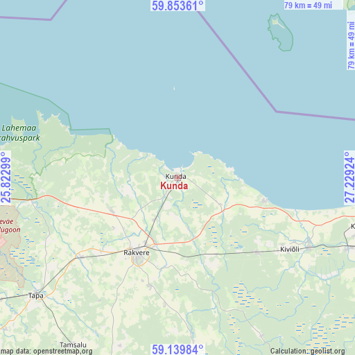
Kunda GPS coordinates[2]
59° 29' 54.996" North, 26° 31' 33.996" East
| Map corner | latitude | longitude |
|---|---|---|
| Upper-left | 59.85361°, | 25.82299° |
| Center: | 59.49861°, | 26.52611° |
| Lower-right: | 59.13984°, | 27.22924° |
| Map W x H: | 79.4×79.4 km | = 49.3×49.3mi |
| max Lat: | 59.57639° ⇑4.2% North |
| Kunda: | 59.49861° |
| min Lat: | ⇓95.8% South 57.72778° |
| min Long | Kunda | max Long |
| 22.24646° | 26.52611° | 28.19028° |
| W 72.6%⇐ | ⇒27.4% E |
Elevation
Elevation of Kunda is 46 m = 151 ft, and this is 7.2 m = 24 ft below average elevation for this country.
| Max E: |
141 m = 463 ft | 61.6% |
| Avg. | 53.2 m = 175 ft | |
| Kunda | 46 m = 151 ft | |
Min E: |
6 m = 20 ft | 38.4% |
See also: Estonia elevation on elevation.city.
Geographical zone
Kunda is located in North temperate zone (between Tropic of Cancer and the Arctic Circle). Distance of this North polar circle is 785.5 km =488.1 mi to North.| Distance of | km | miles | from Kunda |
|---|---|---|---|
| North Pole | 3391.4 | 2107.3 | to North |
| Arctic Circle | 785.5 | 488.1 | to North |
| Tropic Cancer | 4009.7 | 2491.5 | to South |
| Equator | 6615.6 | 4110.7 | to South |


Nearby cities:
15 places around Kunda: (largest is in red/bold)
• Aseri
20 km =12.4 mi,  105°
105°
• Haljala
16.6 km =10.3 mi,  244°
244°
• Hulja
24 km =14.9 mi,  227°
227°
• Kadrina
28.2 km =17.5 mi, 229°
• Kiviõli
29.9 km =18.6 mi,  122°
122°
• Kohtla-Nõmme
40.2 km =25 mi, 113°
• Kunda
1.7 km =1.1 mi,  166°
166°
• Pajusti
25.6 km =15.9 mi,  193°
193°
• Püssi
33.4 km =20.8 mi, 117°
• Rakvere
19.5 km =12.1 mi,  209°
209°
• Roela
36.7 km =22.8 mi, 173°
• Sonda
24.6 km =15.3 mi,  134°
134°
• Sõmeru
16.1 km =10 mi,  198°
198°
• Vaiatu
34 km =21.1 mi, 242°
• Vinni
23.2 km =14.4 mi, 193°
Sources, notices
• [Note1] Compared only with cities in Estonia existing in our database
• [Src1] Map data: © OpenStreetMap contributors (CC-BY-SA)
• [Src2] Other city data from geonames.org with taken over terms of usage.
• [Src3] Geographical zone / Annual Mean Temperature by Robert A. Rohde @ Wikipedia
