Haljala geodata
Haljala (Lääne-Virumaa) is a seat of a second-order administrative division; located in Estonia in Europe/Tallinn (GMT+3) time zone. With population of 1,233 people, there are 74 cities with bigger population in this country. Compared to other cities in Estonia, 90.5% of cities are located further ↓South; 66.3% of cities are located further ←West and 84.7% of cities have lower elevation than Haljala. Note1


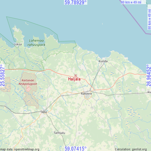
Haljala GPS coordinates[2]
59° 26' 0.996" North, 26° 15' 41.004" East
| Map corner | latitude | longitude |
|---|---|---|
| Upper-left | 59.78929°, | 25.55827° |
| Center: | 59.43361°, | 26.26139° |
| Lower-right: | 59.07415°, | 26.96452° |
| Map W x H: | 79.5×79.5 km | = 49.4×49.4mi |
| max Lat: | 59.57639° ⇑9.5% North |
| Haljala: | 59.43361° |
| min Lat: | ⇓90.5% South 57.72778° |
| min Long | Haljala | max Long |
| 22.24646° | 26.26139° | 28.19028° |
| W 66.3%⇐ | ⇒33.7% E |
Elevation
Elevation of Haljala is 80 m = 262 ft, and this is 26.8 m = 88 ft above average elevation for this country.
| Max E: |
141 m = 463 ft | 15.3% |
| Haljala | 80 m 262 ft | |
| Avg. | 53.2 m = 175 ft | |
Min E: |
6 m = 20 ft | 84.7% |
See also: Estonia elevation on elevation.city.
Geographical zone
Haljala is located in North temperate zone (between Tropic of Cancer and the Arctic Circle). Distance of this North polar circle is 792.8 km =492.6 mi to North.| Distance of | km | miles | from Haljala |
|---|---|---|---|
| North Pole | 3398.7 | 2111.9 | to North |
| Arctic Circle | 792.8 | 492.6 | to North |
| Tropic Cancer | 4002.5 | 2487 | to South |
| Equator | 6608.4 | 4106.3 | to South |


Nearby cities:
15 places around Haljala: (largest is in red/bold)
• Aseri
34.3 km =21.3 mi,  86°
86°
• Hulja
9.4 km =5.8 mi,  196°
196°
• Kadrina
12.8 km =8 mi,  210°
210°
• Kunda
16.3 km =10.1 mi,  70°
70°
• Kunda
16.6 km =10.3 mi,  64°
64°
• Loksa
34.4 km =21.4 mi,  297°
297°
• Pajusti
19.9 km =12.4 mi,  152°
152°
• Rakvere
11.1 km =6.9 mi, 151°
• Sonda
34.1 km =21.2 mi,  107°
107°
• Sõmeru
12.8 km =8 mi,  128°
128°
• Tamsalu
31.7 km =19.7 mi, 195°
• Tapa
25.8 km =16 mi,  221°
221°
• Vaiatu
17.4 km =10.8 mi,  240°
240°
• Vinni
18.1 km =11.2 mi, 147°
• Väike-Maarja
34.2 km =21.3 mi,  181°
181°
Sources, notices
• [Note1] Compared only with cities in Estonia existing in our database
• [Src1] Map data: © OpenStreetMap contributors (CC-BY-SA)
• [Src2] Other city data from geonames.org with taken over terms of usage.
• [Src3] Geographical zone / Annual Mean Temperature by Robert A. Rohde @ Wikipedia
