Chella geodata
Chella (Valencia) is a seat of a third-order administrative division; located in Spain in Europe/Madrid (GMT+2) time zone. With population of 2,618 people, there are 1852 cities with bigger population in this country. Compared to other cities in Spain, 80.7% of cities are located further ↑North; 80.2% of cities are located further ←West and 79.5% of cities have higher elevation than Chella. Note1


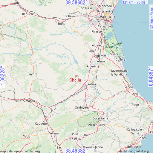
Chella GPS coordinates[2]
39° 2' 31.308" North, 0° 39' 32.976" West
| Map corner | latitude | longitude |
|---|---|---|
| Upper-left | 39.58602°, | -1.36228° |
| Center: | 39.04203°, | -0.65916° |
| Lower-right: | 38.49382°, | 0.04397° |
| Map W x H: | 121.4×121.4 km | = 75.4×75.4mi |
| max Lat: | 43.74134° ⇑80.7% North |
| Chella: | 39.04203° |
| min Lat: | ⇓19.3% South 27.64134° |
| min Long | Chella | max Long |
| -18.00367° | -0.65916° | 4.2899° |
| W 80.2%⇐ | ⇒19.8% E |
Elevation
Elevation of Chella is 229 m = 751 ft, and this is 369 m = 1211 ft below average elevation for this country.
| Max E: |
1682 m = 5518 ft | 79.5% |
| Avg. | 598 m = 1962 ft | |
| Chella | 229 m = 751 ft | |
Min E: |
0 m = 0 ft | 20.5% |
See also: Spain elevation on elevation.city.
Geographical zone
Chella is located in North temperate zone (between Tropic of Cancer and the Arctic Circle). Distance of this Northern Tropic circle is 1735.1 km =1078.1 mi to South.| Distance of | km | miles | from Chella |
|---|---|---|---|
| North Pole | 5666 | 3520.7 | to North |
| Arctic Circle | 3060.1 | 1901.5 | to North |
| Tropic Cancer | 1735.1 | 1078.1 | to South |
| Equator | 4341.1 | 2697.4 | to South |


Nearby cities:
15 places around Chella: (largest is in red/bold)
• Alcàntera de Xúquer
9.8 km =6.1 mi,  73°
73°
• Anna
2.7 km =1.7 mi,  155°
155°
• Antella
7.2 km =4.5 mi,  54°
54°
• Beneixida
9.8 km =6.1 mi, 73°
• Bolbaite
2.4 km =1.5 mi,  326°
326°
• Cotes
7.9 km =4.9 mi, 66°
• Càrcer
8.4 km =5.2 mi, 71°
• Enguera
7.3 km =4.5 mi,  199°
199°
• Estubeny
4.1 km =2.5 mi,  131°
131°
• Llanera de Ranes
8.9 km =5.5 mi, 125°
• Navarrés
7.3 km =4.5 mi,  335°
335°
• Rotglá y Corbera
9.1 km =5.7 mi,  117°
117°
• Sellent
6.3 km =3.9 mi,  100°
100°
• Sumacàrcer
6.8 km =4.2 mi,  19°
19°
• Torrella
10.2 km =6.3 mi, 128°
Sources, notices
• [Note1] Compared only with cities in Spain existing in our database
• [Src1] Map data: © OpenStreetMap contributors (CC-BY-SA)
• [Src2] Other city data from geonames.org with taken over terms of usage.
• [Src3] Geographical zone / Annual Mean Temperature by Robert A. Rohde @ Wikipedia
