Albuñán geodata
Albuñán (Andalusia) is a seat of a third-order administrative division; located in Spain in Europe/Madrid (GMT+2) time zone. With population of 467 people, there are 3971 cities with bigger population in this country. Compared to other cities in Spain, 93.7% of cities are located further ↑North; 52.3% of cities are located further ←West and 94% of cities have lower elevation than Albuñán. Note1


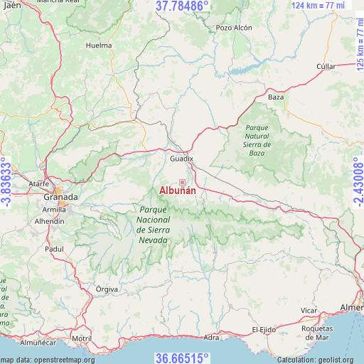
Albuñán GPS coordinates[2]
37° 13' 37.488" North, 3° 7' 59.556" West
| Map corner | latitude | longitude |
|---|---|---|
| Upper-left | 37.78486°, | -3.83633° |
| Center: | 37.22708°, | -3.13321° |
| Lower-right: | 36.66515°, | -2.43008° |
| Map W x H: | 124.5×124.5 km | = 77.4×77.4mi |
| max Lat: | 43.74134° ⇑93.7% North |
| Albuñán: | 37.22708° |
| min Lat: | ⇓6.3% South 27.64134° |
| min Long | Albuñán | max Long |
| -18.00367° | -3.13321° | 4.2899° |
| W 52.3%⇐ | ⇒47.7% E |
Elevation
Elevation of Albuñán is 1117 m = 3665 ft, and this is 519 m = 1703 ft above average elevation for this country.
| Max E: |
1682 m = 5518 ft | 6% |
| Albuñán | 1117 m 3665 ft | |
| Avg. | 598 m = 1962 ft | |
Min E: |
0 m = 0 ft | 94% |
See also: Spain elevation on elevation.city.
Geographical zone
Albuñán is located in North temperate zone (between Tropic of Cancer and the Arctic Circle). Distance of this Northern Tropic circle is 1533.3 km =952.7 mi to South.| Distance of | km | miles | from Albuñán |
|---|---|---|---|
| North Pole | 5867.8 | 3646.1 | to North |
| Arctic Circle | 3261.9 | 2026.9 | to North |
| Tropic Cancer | 1533.3 | 952.7 | to South |
| Equator | 4139.3 | 2572 | to South |


Nearby cities:
15 places around Albuñán: (largest is in red/bold)
• Aldeire
9.2 km =5.7 mi,  143°
143°
• Alquife
5.4 km =3.4 mi,  163°
163°
• Beas de Guadix
8.6 km =5.3 mi,  311°
311°
• Benalúa de Guadix
14.1 km =8.8 mi,  348°
348°
• Cogollos de Guadix
2.5 km =1.6 mi,  265°
265°
• Dólar
13.6 km =8.5 mi,  112°
112°
• Ferreira
10.6 km =6.6 mi,  125°
125°
• Guadix
8 km =5 mi,  356°
356°
• Huéneja
17.1 km =10.6 mi, 109°
• Jérez del Marquesado
5.3 km =3.3 mi,  205°
205°
• Lanteira
6.5 km =4 mi,  183°
183°
• Lugros
9.6 km =6 mi, 271°
• Marchal
9.9 km =6.2 mi,  321°
321°
• Polícar
9.5 km =5.9 mi,  290°
290°
• Purullena
11.3 km =7 mi,  333°
333°
Sources, notices
• [Note1] Compared only with cities in Spain existing in our database
• [Src1] Map data: © OpenStreetMap contributors (CC-BY-SA)
• [Src2] Other city data from geonames.org with taken over terms of usage.
• [Src3] Geographical zone / Annual Mean Temperature by Robert A. Rohde @ Wikipedia
