Aldeire geodata
Aldeire (Andalusia) is a seat of a third-order administrative division; located in Spain in Europe/Madrid (GMT+2) time zone. With population of 742 people, there are 3322 cities with bigger population in this country. Compared to other cities in Spain, 94.4% of cities are located further ↑North; 53.2% of cities are located further ←West and 98.4% of cities have lower elevation than Aldeire. Note1


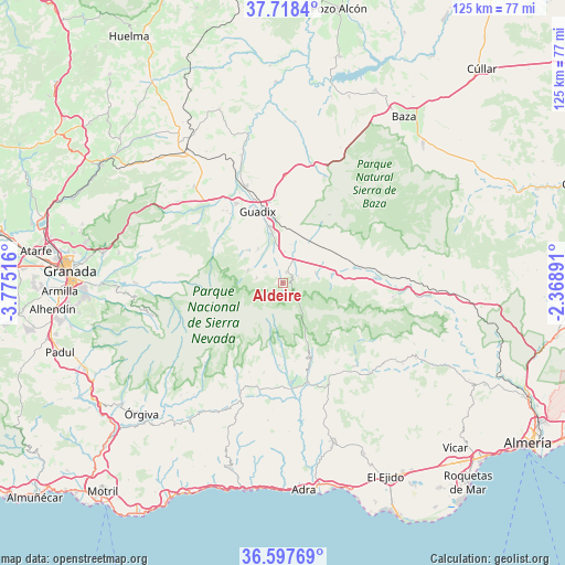
Aldeire GPS coordinates[2]
37° 9' 36.432" North, 3° 4' 19.344" West
| Map corner | latitude | longitude |
|---|---|---|
| Upper-left | 37.7184°, | -3.77516° |
| Center: | 37.16012°, | -3.07204° |
| Lower-right: | 36.59769°, | -2.36891° |
| Map W x H: | 124.6×124.6 km | = 77.4×77.4mi |
| max Lat: | 43.74134° ⇑94.4% North |
| Aldeire: | 37.16012° |
| min Lat: | ⇓5.6% South 27.64134° |
| min Long | Aldeire | max Long |
| -18.00367° | -3.07204° | 4.2899° |
| W 53.2%⇐ | ⇒46.8% E |
Elevation
Elevation of Aldeire is 1288 m = 4226 ft, and this is 690 m = 2264 ft above average elevation for this country.
| Max E: |
1682 m = 5518 ft | 1.6% |
| Aldeire | 1288 m 4226 ft | |
| Avg. | 598 m = 1962 ft | |
Min E: |
0 m = 0 ft | 98.4% |
See also: Spain elevation on elevation.city.
Geographical zone
Aldeire is located in North temperate zone (between Tropic of Cancer and the Arctic Circle). Distance of this Northern Tropic circle is 1525.9 km =948.2 mi to South.| Distance of | km | miles | from Aldeire |
|---|---|---|---|
| North Pole | 5875.2 | 3650.7 | to North |
| Arctic Circle | 3269.4 | 2031.5 | to North |
| Tropic Cancer | 1525.9 | 948.2 | to South |
| Equator | 4131.8 | 2567.4 | to South |


Nearby cities:
15 places around Aldeire: (largest is in red/bold)
• Albuñán
9.2 km =5.7 mi,  323°
323°
• Alquife
4.5 km =2.8 mi,  300°
300°
• Bayárcal
15.9 km =9.9 mi,  154°
154°
• Beas de Guadix
17.7 km =11 mi, 318°
• Cogollos de Guadix
10.7 km =6.6 mi,  312°
312°
• Dólar
7.5 km =4.7 mi,  73°
73°
• Ferreira
3.5 km =2.2 mi, 67°
• Guadix
16.6 km =10.3 mi,  338°
338°
• Huéneja
10.9 km =6.8 mi,  80°
80°
• Jérez del Marquesado
8.2 km =5.1 mi,  288°
288°
• Lanteira
5.9 km =3.7 mi,  279°
279°
• Lugros
16.9 km =10.5 mi, 297°
• Paterna del Río
18.6 km =11.6 mi, 145°
• Polícar
18 km =11.2 mi, 307°
• Válor
18.3 km =11.4 mi,  183°
183°
Sources, notices
• [Note1] Compared only with cities in Spain existing in our database
• [Src1] Map data: © OpenStreetMap contributors (CC-BY-SA)
• [Src2] Other city data from geonames.org with taken over terms of usage.
• [Src3] Geographical zone / Annual Mean Temperature by Robert A. Rohde @ Wikipedia
